Distance to Rosebud, Illinois

Calculating Your Route
Just a moment while we process your request...
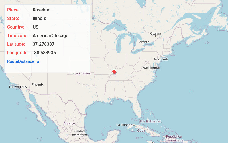
Location Information
-
Full AddressRosebud, IL 62938
-
Coordinates37.2783872, -88.5839357
-
LocationRosebud , Illinois , US
-
TimezoneAmerica/Chicago
-
Current Local Time12:29:46 AM America/ChicagoThursday, June 19, 2025
-
Page Views0
Nearby Places
Found 10 places within 50 miles

Tansill
3.2 mi
5.1 km
Tansill, Golconda No. 1 Precinct, IL 62938
Get directions
Temple Hill
3.2 mi
5.1 km
Temple Hill, IL 62960
Get directions

Brownfield
4.8 mi
7.7 km
Brownfield, IL 62938
Get directions
Hodgeville
4.8 mi
7.7 km
Hodgeville, Golconda No. 1 Precinct, IL 62938
Get directions
Bay City
5.2 mi
8.4 km
Bay City, Jefferson No. 4 Precinct, IL 62938
Get directions
Old Brownfield
5.6 mi
9.0 km
Old Brownfield, Golconda No. 1 Precinct, IL 62938
Get directions
Bayou
6.4 mi
10.3 km
Bayou, KY 42081
Get directions
Renshaw
7.4 mi
11.9 km
Renshaw, Webster No. 5 Precinct, IL 62960
Get directions
Allens Spring
7.4 mi
11.9 km
Allens Spring, IL 62938
Get directions
Big Bay
8.0 mi
12.9 km
Big Bay, Benton Precinct, IL 62960
Get directions
Location Links
Local Weather
Weather Information
Coming soon!
Location Map
Static map view of Rosebud, Illinois
Browse Places by Distance
Places within specific distances from Rosebud
Short Distances
Long Distances
Click any distance to see all places within that range from Rosebud. Distances shown in miles (1 mile ≈ 1.61 kilometers).