Distance to Rosedale, Oregon

Calculating Your Route
Just a moment while we process your request...
Location Information
-
Full AddressRosedale, OR 97306
-
Coordinates44.8545647, -123.0614847
-
LocationRosedale , Oregon , US
-
TimezoneAmerica/Los_Angeles
-
Current Local Time11:05:52 PM America/Los_AngelesWednesday, June 4, 2025
-
Page Views0
About Rosedale
Rosedale is an unincorporated community in Marion County, Oregon, United States. It is located just south of Salem, in the Salem Hills. It is a part of the Salem Metropolitan Statistical Area.
Rosedale post office ran from 1892 to 1901.
Nearby Places
Found 10 places within 50 miles

Hopville
5.0 mi
8.0 km
Hopville, OR 97351
Get directions

Turner
5.4 mi
8.7 km
Turner, OR 97392
Get directions
Sidney
5.5 mi
8.9 km
Sidney, OR 97352
Get directions

Salem
5.7 mi
9.2 km
Salem, OR
Get directions
Eola
6.0 mi
9.7 km
Eola, OR 97304
Get directions

Independence
6.1 mi
9.8 km
Independence, OR
Get directions

Four Corners
6.4 mi
10.3 km
Four Corners, OR
Get directions
Talbot
6.7 mi
10.8 km
Talbot, OR 97352
Get directions
Buena Vista
7.3 mi
11.7 km
Buena Vista, OR 97351
Get directions

Monmouth
8.5 mi
13.7 km
Monmouth, OR
Get directions
Location Links
Local Weather
Weather Information
Coming soon!
Location Map
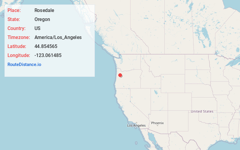
Static map view of Rosedale, Oregon
Browse Places by Distance
Places within specific distances from Rosedale
Short Distances
Long Distances
Click any distance to see all places within that range from Rosedale. Distances shown in miles (1 mile ≈ 1.61 kilometers).