Distance to Roseland, Minnesota

Calculating Your Route
Just a moment while we process your request...
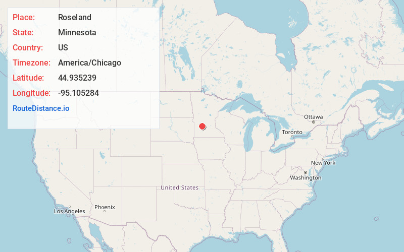
Location Information
-
Full AddressRoseland, MN 56216
-
Coordinates44.935239, -95.1052838
-
LocationRoseland , Minnesota , US
-
TimezoneAmerica/Chicago
-
Current Local Time2:26:12 AM America/ChicagoWednesday, May 21, 2025
-
Page Views0
About Roseland
Roseland is an unincorporated community in Kandiyohi County, Minnesota, United States. It was settled in 1926 by Dutch Immigrants. It grew from its founding until the 1960s because of its railroad. It was once a popular place to play baseball, but the baseball field was replaced by houses.
Nearby Places
Found 10 places within 50 miles

Prinsburg
4.0 mi
6.4 km
Prinsburg, MN 56281
Get directions
Blomkest
4.0 mi
6.4 km
Blomkest, MN 56216
Get directions

Svea
6.2 mi
10.0 km
Svea, MN 56216
Get directions

Raymond
8.6 mi
13.8 km
Raymond, MN 56282
Get directions

Danube
9.9 mi
15.9 km
Danube, MN
Get directions
Bunde
10.0 mi
16.1 km
Bunde, MN 56222
Get directions

Lake Lillian
11.0 mi
17.7 km
Lake Lillian, MN 56253
Get directions

Renville
11.4 mi
18.3 km
Renville, MN 56284
Get directions

Olivia
12.2 mi
19.6 km
Olivia, MN 56277
Get directions
Clara City
12.9 mi
20.8 km
Clara City, MN 56222
Get directions
Location Links
Local Weather
Weather Information
Coming soon!
Location Map
Static map view of Roseland, Minnesota
Browse Places by Distance
Places within specific distances from Roseland
Short Distances
Long Distances
Click any distance to see all places within that range from Roseland. Distances shown in miles (1 mile ≈ 1.61 kilometers).