Distance to Roseland, Virginia

Calculating Your Route
Just a moment while we process your request...
Location Information
-
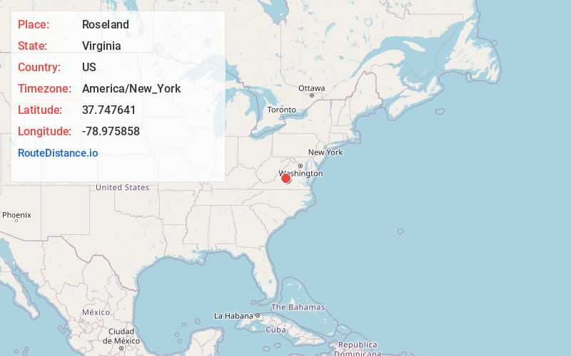
Full AddressRoseland, VA 22967
-
Coordinates37.7476405, -78.9758579
-
LocationRoseland , Virginia , US
-
TimezoneAmerica/New_York
-
Current Local Time12:05:55 PM America/New_YorkSaturday, May 31, 2025
-
Page Views0
About Roseland
Roseland is an unincorporated community in Nelson County, Virginia, United States. It was among the communities severely affected by flash flooding from Hurricane Camille in 1969.
Roseland is home to the Devils Backbone Brewing Company.


Nearby Places
Found 10 places within 50 miles

Piney River
3.9 mi
6.3 km
Piney River, VA 22964
Get directions

Lowesville
5.2 mi
8.4 km
Lowesville, VA 22967
Get directions

Lovingston
5.8 mi
9.3 km
Lovingston, VA 22949
Get directions

Arrington
6.0 mi
9.7 km
Arrington, VA 22922
Get directions
Shipman
7.6 mi
12.2 km
Shipman, VA 22971
Get directions
New Glasgow
8.2 mi
13.2 km
New Glasgow, VA 24521
Get directions
Buffalo Hill
9.6 mi
15.4 km
Buffalo Hill, VA 24521
Get directions

Wintergreen
10.4 mi
16.7 km
Wintergreen, VA 22958
Get directions
Monitor
10.8 mi
17.4 km
Monitor, VA 24521
Get directions

Nellysford
11.3 mi
18.2 km
Nellysford, VA
Get directions
Location Links
Local Weather
Weather Information
Coming soon!
Location Map
Static map view of Roseland, Virginia
Browse Places by Distance
Places within specific distances from Roseland
Short Distances
Long Distances
Click any distance to see all places within that range from Roseland. Distances shown in miles (1 mile ≈ 1.61 kilometers).