Distance to Rosemont, Illinois

Calculating Your Route
Just a moment while we process your request...
Location Information
-
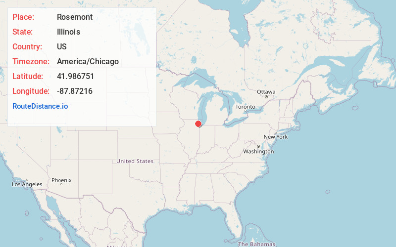
Full AddressRosemont, IL 60018
-
Coordinates41.9867507, -87.8721602
-
LocationRosemont , Illinois , US
-
TimezoneAmerica/Chicago
-
Current Local Time6:56:51 PM America/ChicagoFriday, May 30, 2025
-
Page Views1
About Rosemont
Rosemont is a village in Cook County, Illinois, United States, located immediately northwest of Chicago. As of the 2020 census, the village had a population of 3,952. The village was incorporated in 1956, though it had been settled long before that.


Nearby Places
Found 10 places within 50 miles

Schiller Park
2.1 mi
3.4 km
Schiller Park, IL
Get directions

Park Ridge
2.3 mi
3.7 km
Park Ridge, IL
Get directions

Norridge
2.8 mi
4.5 km
Norridge, IL
Get directions

Harwood Heights
3.6 mi
5.8 km
Harwood Heights, IL 60706
Get directions

Franklin Park
3.6 mi
5.8 km
Franklin Park, IL
Get directions

Des Plaines
3.9 mi
6.3 km
Des Plaines, IL
Get directions

Bensenville
4.1 mi
6.6 km
Bensenville, IL
Get directions

Niles
4.2 mi
6.8 km
Niles, IL
Get directions

River Grove
4.6 mi
7.4 km
River Grove, IL
Get directions

Northlake
5.0 mi
8.0 km
Northlake, IL
Get directions
Location Links
Local Weather
Weather Information
Coming soon!
Location Map
Static map view of Rosemont, Illinois
Browse Places by Distance
Places within specific distances from Rosemont
Short Distances
Long Distances
Click any distance to see all places within that range from Rosemont. Distances shown in miles (1 mile ≈ 1.61 kilometers).