Distance to Rosevine, Texas

Calculating Your Route
Just a moment while we process your request...
Location Information
-
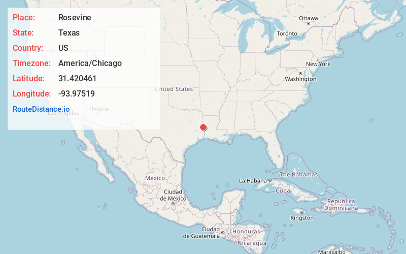
Full AddressRosevine, TX 75972
-
Coordinates31.4204606, -93.9751901
-
LocationRosevine , Texas , US
-
TimezoneAmerica/Chicago
-
Current Local Time9:26:30 PM America/ChicagoThursday, June 26, 2025
-
Page Views0
About Rosevine
Rosevine is an unincorporated community in northwestern Sabine County, Texas, United States. It is lpcated along State Highway 103 10 miles northwest of Hemphill. As early as 1936, the population was an estimated 75 residents. As of the census of 2000, the population was estimated at 50.
Nearby Places
Found 10 places within 50 miles

Milam
7.7 mi
12.4 km
Milam, TX
Get directions

Hemphill
9.3 mi
15.0 km
Hemphill, TX 75948
Get directions

San Augustine
11.0 mi
17.7 km
San Augustine, TX 75972
Get directions

Pineland
11.7 mi
18.8 km
Pineland, TX 75968
Get directions
Dreka
17.6 mi
28.3 km
Dreka, TX 75973
Get directions

Broaddus
19.4 mi
31.2 km
Broaddus, TX 75929
Get directions
Browndell
20.3 mi
32.7 km
Browndell, TX 75931
Get directions

Chireno
23.1 mi
37.2 km
Chireno, TX 75937
Get directions

Zwolle
24.3 mi
39.1 km
Zwolle, LA
Get directions
Shelbyville
24.4 mi
39.3 km
Shelbyville, TX
Get directions
Location Links
Local Weather
Weather Information
Coming soon!
Location Map
Static map view of Rosevine, Texas
Browse Places by Distance
Places within specific distances from Rosevine
Short Distances
Long Distances
Click any distance to see all places within that range from Rosevine. Distances shown in miles (1 mile ≈ 1.61 kilometers).