Distance to Rosewood, Kentucky

Calculating Your Route
Just a moment while we process your request...
Location Information
-
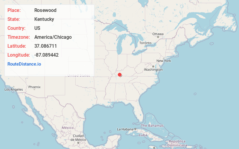
Full AddressRosewood, KY 42345
-
Coordinates37.0867105, -87.0894418
-
LocationRosewood , Kentucky , US
-
TimezoneAmerica/Chicago
-
Current Local Time8:49:06 PM America/ChicagoFriday, May 30, 2025
-
Page Views0
About Rosewood
Rosewood is an unincorporated community located in Muhlenberg County, Kentucky, United States.
Nearby Places
Found 10 places within 50 miles

Wells
3.9 mi
6.3 km
Wells, KY 42345
Get directions
Tyewhoppety
4.2 mi
6.8 km
Tyewhoppety, KY 42256
Get directions
Agnes
4.6 mi
7.4 km
Agnes, KY 42256
Get directions
Dunmor
5.2 mi
8.4 km
Dunmor, KY
Get directions
Penrod
5.3 mi
8.5 km
Penrod, KY 42339
Get directions
Deer Lick
5.7 mi
9.2 km
Deer Lick, KY 42256
Get directions
Union Ridge
5.9 mi
9.5 km
Union Ridge, KY 42324
Get directions
Hollow Bill
6.0 mi
9.7 km
Hollow Bill, KY 42256
Get directions
Belton
6.1 mi
9.8 km
Belton, KY 42324
Get directions
Beech Creek
6.4 mi
10.3 km
Beech Creek, KY 42321
Get directions
Location Links
Local Weather
Weather Information
Coming soon!
Location Map
Static map view of Rosewood, Kentucky
Browse Places by Distance
Places within specific distances from Rosewood
Short Distances
Long Distances
Click any distance to see all places within that range from Rosewood. Distances shown in miles (1 mile ≈ 1.61 kilometers).