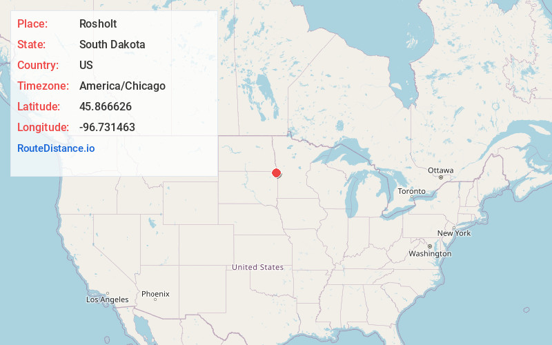
Distance to Rosholt, South Dakota

Calculating Your Route
Just a moment while we process your request...
Location Information
-
Full AddressRosholt, SD 57260
-
Coordinates45.8666263, -96.731463
-
LocationRosholt , South Dakota , US
-
TimezoneAmerica/Chicago
-
Current Local Time11:17:29 AM America/ChicagoThursday, June 19, 2025
-
Page Views0
About Rosholt
Rosholt is a town in Roberts County, South Dakota, United States. The population was 379 at the 2020 census.
Rosholt was laid out in 1913, and named in honor of Julius Rosholt, who was credited with bringing the railroad to town.
Nearby Places
Found 10 places within 50 miles
Wheaton
12.0 mi
19.3 km
Wheaton, MN 56296
Get directions
Hankinson
16.2 mi
26.1 km
Hankinson, ND 58041
Get directions
Browns Valley
19.4 mi
31.2 km
Browns Valley, MN 56219
Get directions
Sisseton
20.7 mi
33.3 km
Sisseton, SD 57262
Get directions

Long Hollow Housing
23.8 mi
38.3 km
Long Hollow Housing, SD 57262
Get directions
Lidgerwood
24.8 mi
39.9 km
Lidgerwood, ND 58053
Get directions
Graceville
25.1 mi
40.4 km
Graceville, MN 56240
Get directions

Agency Village
26.3 mi
42.3 km
Agency Village, SD 57262
Get directions
Veblen
26.8 mi
43.1 km
Veblen, SD 57270
Get directions
Wahpeton
28.2 mi
45.4 km
Wahpeton, ND 58075
Get directions
Location Links
Local Weather
Weather Information
Coming soon!
Location Map

Static map view of Rosholt, South Dakota
Browse Places by Distance
Places within specific distances from Rosholt
Short Distances
Long Distances
Click any distance to see all places within that range from Rosholt. Distances shown in miles (1 mile ≈ 1.61 kilometers).