Distance to Rosita South, Texas

Calculating Your Route
Just a moment while we process your request...
Location Information
-
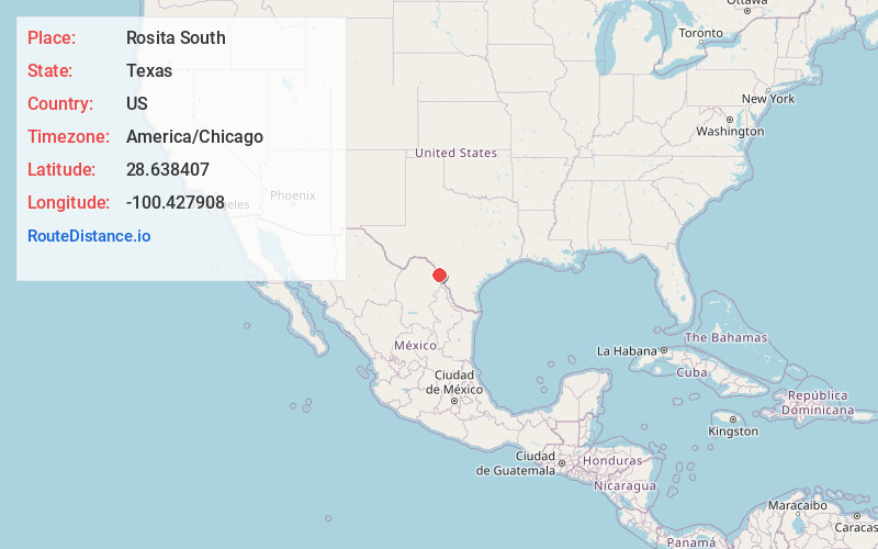
Full AddressRosita South, TX 78852
-
Coordinates28.6384069, -100.4279075
-
LocationRosita South , Texas , US
-
TimezoneAmerica/Chicago
-
Current Local Time10:51:02 PM America/ChicagoMonday, June 2, 2025
-
Page Views0
About Rosita South
Rosita, formerly known as Rosita South, is a census-designated place in Maverick County, Texas, United States. The population was 3,501 as of the 2020 census. The Kickapoo Indian Reservation of Texas is located within the community.
Nearby Places
Found 5 places within 50 miles

Rosita North
1.1 mi
1.8 km
Rosita North, TX 78852
Get directions
Eidson Road
3.7 mi
6.0 km
Eidson Road, TX 78852
Get directions

Eagle Pass
6.5 mi
10.5 km
Eagle Pass, TX 78852
Get directions

Carrizo Springs
35.4 mi
57.0 km
Carrizo Springs, TX 78834
Get directions

Crystal City
36.5 mi
58.7 km
Crystal City, TX 78839
Get directions
Location Links
Local Weather
Weather Information
Coming soon!
Location Map
Static map view of Rosita South, Texas
Browse Places by Distance
Places within specific distances from Rosita South
Short Distances
Long Distances
Click any distance to see all places within that range from Rosita South. Distances shown in miles (1 mile ≈ 1.61 kilometers).