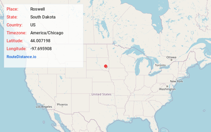
Distance to Roswell, South Dakota
Location Information
-
Full AddressRoswell, SD 57349
-
Coordinates44.0071976, -97.6959079
-
LocationRoswell , South Dakota , US
-
TimezoneAmerica/Chicago
-
Current Local Time9:32:28 PM America/ChicagoFriday, May 16, 2025
-
Page Views0
About Roswell
Roswell is a CDP in Miner County, South Dakota, United States. The population was 8 at the 2020 census. It disincorporated as a town in 2012.
Roswell was laid out in 1883, and named in honor of Roswell Miller, a railroad official.
Nearby Places
Found 10 places within 50 miles
Fedora
4.7 mi
7.6 km
Fedora, SD 57337
Get directions

Vilas
4.9 mi
7.9 km
Vilas, SD 57349
Get directions
Howard
8.4 mi
13.5 km
Howard, SD 57349
Get directions

Artesian
11.2 mi
18.0 km
Artesian, SD 57314
Get directions
Carthage
11.4 mi
18.3 km
Carthage, SD 57323
Get directions

Canova
12.9 mi
20.8 km
Canova, SD 57321
Get directions
Winfred
16.6 mi
26.7 km
Winfred, SD 57076
Get directions
Farmer
19.6 mi
31.5 km
Farmer, SD 57311
Get directions
Spencer
20.0 mi
32.2 km
Spencer, SD 57374
Get directions

Forestburg
20.5 mi
33.0 km
Forestburg, SD 57314
Get directions
Location Links
Local Weather
Weather Information
Coming soon!
Location Map

Static map view of Roswell, South Dakota
Browse Places by Distance
Places within specific distances from Roswell
Short Distances
Long Distances
Click any distance to see all places within that range from Roswell. Distances shown in miles (1 mile ≈ 1.61 kilometers).