Distance to Rotalata, South Carolina

Calculating Your Route
Just a moment while we process your request...
Location Information
-
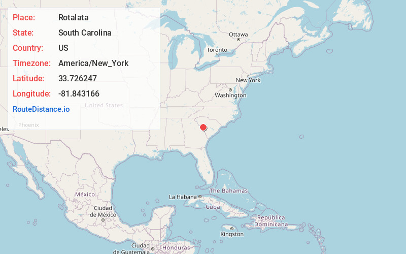
Full AddressRotalata, SC 29847
-
Coordinates33.7262468, -81.8431662
-
LocationSouth Carolina , US
-
TimezoneAmerica/New_York
-
Current Local Time3:31:09 PM America/New_YorkTuesday, June 24, 2025
-
Page Views0
Nearby Places
Found 10 places within 50 miles

Pine House Crossroads
1.0 mi
1.6 km
Pine House Crossroads, SC 29847
Get directions

Trenton
1.2 mi
1.9 km
Trenton, SC 29847
Get directions
Sunny Brook
3.8 mi
6.1 km
Sunny Brook, SC 29847
Get directions
Parkhill
3.9 mi
6.3 km
Parkhill, SC 29847
Get directions

Edgefield
6.6 mi
10.6 km
Edgefield, SC
Get directions

Johnston
7.7 mi
12.4 km
Johnston, SC 29832
Get directions

Vaucluse
8.1 mi
13.0 km
Vaucluse, SC 29850
Get directions
Ropers Crossroads
8.7 mi
14.0 km
Ropers Crossroads, SC 29824
Get directions

Murphy Village
10.4 mi
16.7 km
Murphy Village, SC 29860
Get directions
Ward
11.2 mi
18.0 km
Ward, SC
Get directions
Location Links
Local Weather
Weather Information
Coming soon!
Location Map
Static map view of Rotalata, South Carolina
Browse Places by Distance
Places within specific distances from Rotalata
Short Distances
Long Distances
Click any distance to see all places within that range from Rotalata. Distances shown in miles (1 mile ≈ 1.61 kilometers).