Distance to Rovinj

Calculating Your Route
Just a moment while we process your request...
Location Information
-
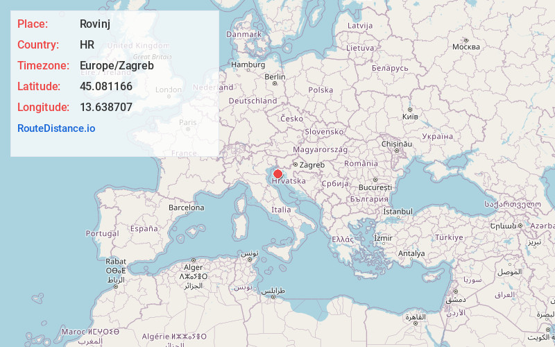
Full AddressRovinj, Croatia
-
Coordinates45.0811661, 13.6387067
-
LocationRovinj , HR
-
TimezoneEurope/Zagreb
-
Current Local Time6:48:33 PM Europe/ZagrebMonday, June 23, 2025
-
Website
-
Page Views0
About Rovinj
Rovinj is a Croatian fishing port on the west coast of the Istrian peninsula. The old town stands on a headland, with houses tightly crowded down to the seafront. A tangle of cobbled streets leads to the hilltop church of St. Euphemia, whose towering steeple dominates the skyline. South of the old town is Lone Bay, one of the area’s pebble beaches. The Rovinj archipelago’s 14 islands lie immediately off the mainland.


Location Links
Local Weather
Weather Information
Coming soon!
Location Map
Static map view of Rovinj
Browse Places by Distance
Places within specific distances from Rovinj
Short Distances
Long Distances
Click any distance to see all places within that range from Rovinj. Distances shown in miles (1 mile ≈ 1.61 kilometers).