Distance to Rowena, South Dakota

Calculating Your Route
Just a moment while we process your request...
Location Information
-
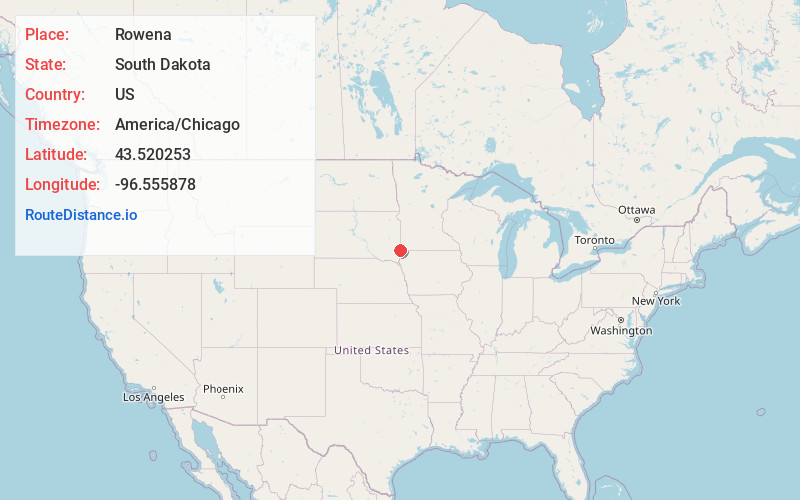
Full AddressRowena, SD 57005
-
Coordinates43.5202525, -96.5558777
-
LocationRowena , South Dakota , US
-
TimezoneAmerica/Chicago
-
Current Local Time3:48:21 PM America/ChicagoSunday, June 8, 2025
-
Page Views0
About Rowena
Rowena is an unincorporated community and a census-designated place in Minnehaha County, South Dakota, United States. The population of the CDP was 68 at the 2020 United States census. It is located along South Dakota Highway 42.
Nearby Places
Found 10 places within 50 miles

Anderson Subdivision
3.5 mi
5.6 km
Anderson Subdivision, SD 57110
Get directions
Pine Lakes Addition
4.3 mi
6.9 km
Pine Lakes Addition, SD 57110
Get directions

Brandon
5.2 mi
8.4 km
Brandon, SD 57005
Get directions
Shindler
5.6 mi
9.0 km
Shindler, SD
Get directions

Valley Springs
6.2 mi
10.0 km
Valley Springs, SD 57068
Get directions

Larchwood
7.6 mi
12.2 km
Larchwood, IA 51241
Get directions

Sioux Falls
9.0 mi
14.5 km
Sioux Falls, SD
Get directions

Harrisburg
9.4 mi
15.1 km
Harrisburg, SD
Get directions

Hills
9.6 mi
15.4 km
Hills, MN 56138
Get directions
Meadow View Addition
10.4 mi
16.7 km
Meadow View Addition, SD 57104
Get directions
Location Links
Local Weather
Weather Information
Coming soon!
Location Map
Static map view of Rowena, South Dakota
Browse Places by Distance
Places within specific distances from Rowena
Short Distances
Long Distances
Click any distance to see all places within that range from Rowena. Distances shown in miles (1 mile ≈ 1.61 kilometers).