Distance to Rowena, Texas

Calculating Your Route
Just a moment while we process your request...
Location Information
-
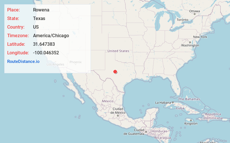
Full AddressRowena, TX 76875
-
Coordinates31.6473828, -100.0463524
-
LocationRowena , Texas , US
-
TimezoneAmerica/Chicago
-
Current Local Time3:06:36 AM America/ChicagoSaturday, May 31, 2025
-
Page Views0
About Rowena
Rowena is an unincorporated community and census designated place in southwestern Runnels County, Texas, United States, designed by Paul J. Baron in 1898. According to the US Census, the population was estimated at 483 in 2000, an increase of 3% from the 1990 census.
Nearby Places
Found 10 places within 50 miles

Ballinger
8.6 mi
13.8 km
Ballinger, TX 76821
Get directions

Miles
8.7 mi
14.0 km
Miles, TX 76861
Get directions

Paint Rock
12.1 mi
19.5 km
Paint Rock, TX 76866
Get directions

Winters
21.9 mi
35.2 km
Winters, TX 79567
Get directions

Bronte
22.0 mi
35.4 km
Bronte, TX 76933
Get directions

San Angelo
26.3 mi
42.3 km
San Angelo, TX
Get directions

Grape Creek
29.5 mi
47.5 km
Grape Creek, TX 76901
Get directions
Robert Lee
30.8 mi
49.6 km
Robert Lee, TX 76945
Get directions

Eden
32.1 mi
51.7 km
Eden, TX 76837
Get directions
Blackwell
34.3 mi
55.2 km
Blackwell, TX 79506
Get directions
Location Links
Local Weather
Weather Information
Coming soon!
Location Map
Static map view of Rowena, Texas
Browse Places by Distance
Places within specific distances from Rowena
Short Distances
Long Distances
Click any distance to see all places within that range from Rowena. Distances shown in miles (1 mile ≈ 1.61 kilometers).