Distance to Rowley, Massachusetts

Calculating Your Route
Just a moment while we process your request...
Location Information
-
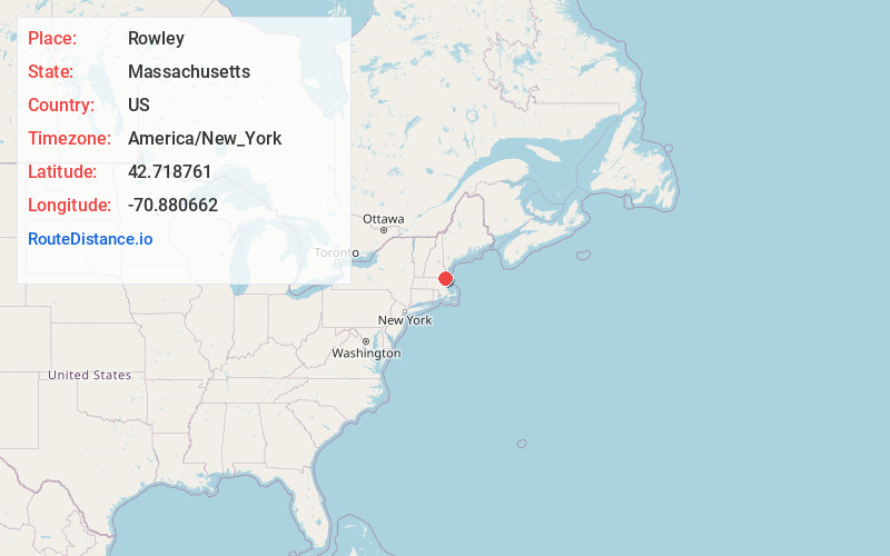
Full AddressRowley, MA
-
Coordinates42.7187606, -70.8806624
-
LocationRowley , Massachusetts , US
-
TimezoneAmerica/New_York
-
Current Local Time8:03:45 AM America/New_YorkWednesday, June 18, 2025
-
Page Views0
About Rowley
Rowley is a town in Essex County, Massachusetts, United States. The population was 6,161 at the 2020 census.
Part of the town comprises the census-designated place of Rowley.


Nearby Places
Found 10 places within 50 miles

Newbury
3.2 mi
5.1 km
Newbury, MA
Get directions

Ipswich
3.5 mi
5.6 km
Ipswich, MA
Get directions

Georgetown
5.6 mi
9.0 km
Georgetown, MA 01833
Get directions

Hamilton
6.0 mi
9.7 km
Hamilton, MA
Get directions

Topsfield
6.4 mi
10.3 km
Topsfield, MA 01983
Get directions

Newburyport
6.5 mi
10.5 km
Newburyport, MA
Get directions

Boxford
7.2 mi
11.6 km
Boxford, MA
Get directions

Groveland
8.2 mi
13.2 km
Groveland, MA 01834
Get directions

Salisbury
8.6 mi
13.8 km
Salisbury, MA
Get directions

Amesbury
10.0 mi
16.1 km
Amesbury, MA
Get directions
Location Links
Local Weather
Weather Information
Coming soon!
Location Map
Static map view of Rowley, Massachusetts
Browse Places by Distance
Places within specific distances from Rowley
Short Distances
Long Distances
Click any distance to see all places within that range from Rowley. Distances shown in miles (1 mile ≈ 1.61 kilometers).