Distance to Roxboro, North Carolina

Calculating Your Route
Just a moment while we process your request...
Location Information
-
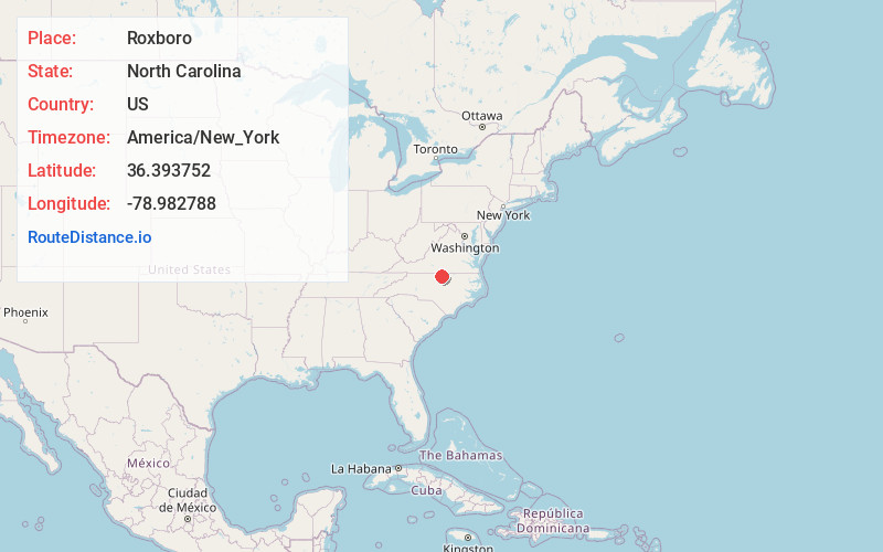
Full AddressRoxboro, NC
-
Coordinates36.3937519, -78.982788
-
LocationRoxboro , North Carolina , US
-
TimezoneAmerica/New_York
-
Current Local Time3:49:59 AM America/New_YorkWednesday, June 18, 2025
-
Website
-
Page Views0
About Roxboro
Roxboro is a city in and the county seat of Person County in the U.S. state of North Carolina. The population was 8,134 at the 2020 census. The city is 30 miles north of Durham and is a part of the four-county Durham–Chapel Hill Metropolitan Statistical Area, which has a population of 649,903 as of the 2020 Census.


Nearby Places
Found 10 places within 50 miles

Oxford
22.6 mi
36.4 km
Oxford, NC 27565
Get directions

Hillsborough
22.9 mi
36.9 km
Hillsborough, NC 27278
Get directions

Mebane
26.0 mi
41.8 km
Mebane, NC
Get directions

Danville
26.5 mi
42.6 km
Danville, VA
Get directions

Durham
27.9 mi
44.9 km
Durham, NC
Get directions

Graham
32.4 mi
52.1 km
Graham, NC
Get directions

Burlington
32.6 mi
52.5 km
Burlington, NC
Get directions

Chapel Hill
33.5 mi
53.9 km
Chapel Hill, NC
Get directions

Carrboro
33.8 mi
54.4 km
Carrboro, NC
Get directions

Elon
35.5 mi
57.1 km
Elon, NC
Get directions
Location Links
Local Weather
Weather Information
Coming soon!
Location Map
Static map view of Roxboro, North Carolina
Browse Places by Distance
Places within specific distances from Roxboro
Short Distances
Long Distances
Click any distance to see all places within that range from Roxboro. Distances shown in miles (1 mile ≈ 1.61 kilometers).