Distance to Roxbury, Illinois

Calculating Your Route
Just a moment while we process your request...
Location Information
-
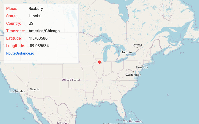
Full AddressRoxbury, Wyoming Township, IL 60553
-
Coordinates41.700586, -89.0395337
-
LocationWyoming Township , Illinois , US
-
TimezoneAmerica/Chicago
-
Current Local Time4:28:32 AM America/ChicagoFriday, June 6, 2025
-
Page Views0
About Roxbury
Roxbury is an unincorporated community in Lee County, Illinois, United States. Roxbury is located on County Route 10, 3.1 miles west-northwest of Paw Paw.
Nearby Places
Found 10 places within 50 miles

Compton
2.2 mi
3.5 km
Compton, IL 61318
Get directions

The Burg
3.1 mi
5.0 km
The Burg, IL 61318
Get directions

Paw Paw
3.1 mi
5.0 km
Paw Paw, IL 61353
Get directions

West Brooklyn
5.6 mi
9.0 km
West Brooklyn, IL 61378
Get directions

Lee
8.3 mi
13.4 km
Lee, IL 60530
Get directions

Shabbona
9.6 mi
15.4 km
Shabbona, IL 60550
Get directions

Earlville
9.8 mi
15.8 km
Earlville, IL 60518
Get directions
Henkel
9.8 mi
15.8 km
Henkel, IL 61342
Get directions
Shaws
10.1 mi
16.3 km
Shaws, IL 61310
Get directions
Steward
10.2 mi
16.4 km
Steward, IL
Get directions
Location Links
Local Weather
Weather Information
Coming soon!
Location Map
Static map view of Roxbury, Illinois
Browse Places by Distance
Places within specific distances from Roxbury
Short Distances
Long Distances
Click any distance to see all places within that range from Roxbury. Distances shown in miles (1 mile ≈ 1.61 kilometers).