Distance to Roxbury Station, Connecticut

Calculating Your Route
Just a moment while we process your request...
Location Information
-
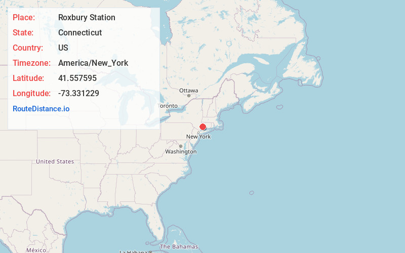
Full AddressRoxbury Station, Roxbury, CT 06783
-
Coordinates41.5575952, -73.3312293
-
LocationRoxbury , Connecticut , US
-
TimezoneAmerica/New_York
-
Current Local Time11:52:35 PM America/New_YorkSaturday, June 21, 2025
-
Page Views0
Nearby Places
Found 10 places within 50 miles

Bridgewater
2.4 mi
3.9 km
Bridgewater, CT 06752
Get directions

New Milford
4.2 mi
6.8 km
New Milford, CT
Get directions

Indian Field
4.9 mi
7.9 km
Indian Field, New Milford, CT 06776
Get directions
Lanesville
5.0 mi
8.0 km
Lanesville, New Milford, CT 06776
Get directions

Washington
5.1 mi
8.2 km
Washington, CT
Get directions
Bell Hill
5.4 mi
8.7 km
Bell Hill, Washington, CT 06793
Get directions
Hotchkissville Historic District
5.9 mi
9.5 km
Hotchkissville Historic District, Woodbury, CT 06798
Get directions

Woodbury
6.4 mi
10.3 km
Woodbury, CT 06798
Get directions
Lower Merryall
7.5 mi
12.1 km
Lower Merryall, New Milford, CT 06776
Get directions
Cedar Land
7.9 mi
12.7 km
Cedar Land, Southbury, CT 06488
Get directions
Location Links
Local Weather
Weather Information
Coming soon!
Location Map
Static map view of Roxbury Station, Connecticut
Browse Places by Distance
Places within specific distances from Roxbury Station
Short Distances
Long Distances
Click any distance to see all places within that range from Roxbury Station. Distances shown in miles (1 mile ≈ 1.61 kilometers).