Distance to Roxie, Mississippi

Calculating Your Route
Just a moment while we process your request...
Location Information
-
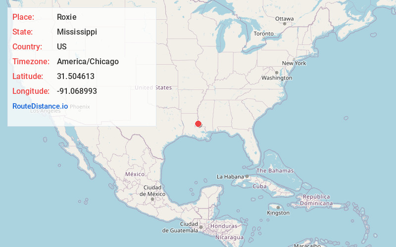
Full AddressRoxie, MS 39661
-
Coordinates31.5046128, -91.0689929
-
LocationRoxie , Mississippi , US
-
TimezoneAmerica/Chicago
-
Current Local Time9:21:43 PM America/ChicagoWednesday, June 4, 2025
-
Page Views0
About Roxie
Roxie is a town in Franklin County, Mississippi, United States. The population was 497 at the 2010 census, down from 569 at the 2000 census. This rural town developed with the construction of railroads in the area.
Nearby Places
Found 10 places within 50 miles

Bude
13.4 mi
21.6 km
Bude, MS
Get directions

Fayette
14.3 mi
23.0 km
Fayette, MS 39069
Get directions

Natchez
20.1 mi
32.3 km
Natchez, MS 39120
Get directions

Gloster
21.4 mi
34.4 km
Gloster, MS 39638
Get directions

Vidalia
21.4 mi
34.4 km
Vidalia, LA 71373
Get directions
Minorca
24.8 mi
39.9 km
Minorca, LA 71373
Get directions
Alcorn State University
26.1 mi
42.0 km
Alcorn State University, MS 39096
Get directions
Ridgecrest
27.9 mi
44.9 km
Ridgecrest, LA 71334
Get directions
Centreville
28.7 mi
46.2 km
Centreville, MS 39631
Get directions

Ferriday
29.9 mi
48.1 km
Ferriday, LA 71334
Get directions
Location Links
Local Weather
Weather Information
Coming soon!
Location Map
Static map view of Roxie, Mississippi
Browse Places by Distance
Places within specific distances from Roxie
Short Distances
Long Distances
Click any distance to see all places within that range from Roxie. Distances shown in miles (1 mile ≈ 1.61 kilometers).