Distance to Royal, North Carolina

Calculating Your Route
Just a moment while we process your request...
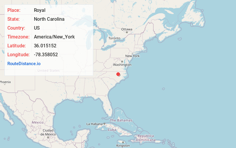
Location Information
-
Full AddressRoyal, NC 27549
-
Coordinates36.0151515, -78.358052
-
LocationNorth Carolina , US
-
TimezoneAmerica/New_York
-
Current Local Time1:25:20 PM America/New_YorkWednesday, June 18, 2025
-
Page Views0
About Royal
Royal is an unincorporated community on U.S. Route 401, in southeastern Franklin County, North Carolina, United States.
It lies at an elevation of 377 feet. The primary cross roads where the community is located are U.S. 401, Flat Rock Church Road and Clifton Pond Road.
Nearby Places
Found 10 places within 50 miles

Raynor
4.1 mi
6.6 km
Raynor, NC 27549
Get directions
Mays Crossroads
4.7 mi
7.6 km
Mays Crossroads, NC 27596
Get directions

Youngsville
6.5 mi
10.5 km
Youngsville, NC 27596
Get directions

Louisburg
6.6 mi
10.6 km
Louisburg, NC 27549
Get directions

Bunn
6.9 mi
11.1 km
Bunn, NC 27508
Get directions
Sutton
8.1 mi
13.0 km
Sutton, NC 27508
Get directions

Franklinton
8.2 mi
13.2 km
Franklinton, NC 27525
Get directions
Penny Hill Lake
8.4 mi
13.5 km
Penny Hill Lake, North Carolina 27597
Get directions

Wake Forest
8.8 mi
14.2 km
Wake Forest, NC
Get directions

Lake Royale
9.4 mi
15.1 km
Lake Royale, NC
Get directions
Location Links
Local Weather
Weather Information
Coming soon!
Location Map
Static map view of Royal, North Carolina
Browse Places by Distance
Places within specific distances from Royal
Short Distances
Long Distances
Click any distance to see all places within that range from Royal. Distances shown in miles (1 mile ≈ 1.61 kilometers).