Distance to Rozet, Wyoming

Calculating Your Route
Just a moment while we process your request...
Location Information
-
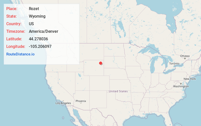
Full AddressRozet, WY 82727
-
Coordinates44.2780362, -105.2060973
-
LocationRozet , Wyoming , US
-
TimezoneAmerica/Denver
-
Current Local Time7:56:40 PM America/DenverWednesday, June 18, 2025
-
Page Views0
About Rozet
Rozet is an unincorporated community in Campbell County, Wyoming, United States. Founded in the 1890s, it was likely named for local populations of wild roses.
Public education in the community of Rozet is provided by Campbell County School District #1.
Nearby Places
Found 10 places within 50 miles

Sleepy Hollow
11.5 mi
18.5 km
Sleepy Hollow, WY 82718
Get directions

Moorcroft
12.7 mi
20.4 km
Moorcroft, WY 82721
Get directions

Gillette
14.3 mi
23.0 km
Gillette, WY
Get directions

Pine Haven
20.3 mi
32.7 km
Pine Haven, WY 82721
Get directions

Upton
31.2 mi
50.2 km
Upton, WY 82730
Get directions

Devils Tower National Monument
32.5 mi
52.3 km
Devils Tower National Monument, Devils Tower, WY 82714
Get directions
New Haven
36.8 mi
59.2 km
New Haven, WY 82720
Get directions

Wright
39.0 mi
62.8 km
Wright, WY
Get directions

Hulett
40.9 mi
65.8 km
Hulett, WY 82720
Get directions
Rockypoint Oil Field
41.9 mi
67.4 km
Rockypoint Oil Field, Wyoming 82731
Get directions
Location Links
Local Weather
Weather Information
Coming soon!
Location Map
Static map view of Rozet, Wyoming
Browse Places by Distance
Places within specific distances from Rozet
Short Distances
Long Distances
Click any distance to see all places within that range from Rozet. Distances shown in miles (1 mile ≈ 1.61 kilometers).