Distance to Ruddels Mills, Kentucky

Calculating Your Route
Just a moment while we process your request...
Location Information
-
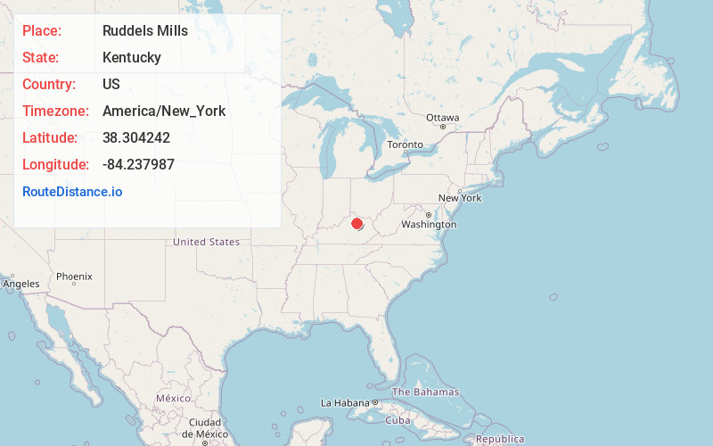
Full AddressRuddels Mills, KY 40361
-
Coordinates38.3042424, -84.2379874
-
LocationRuddels Mills , Kentucky , US
-
TimezoneAmerica/New_York
-
Current Local Time12:50:01 PM America/New_YorkThursday, June 19, 2025
-
Page Views0
About Ruddels Mills
Ruddels Mills is an unincorporated community in Bourbon County, Kentucky. It was established by Captain Isaac Ruddell as a mill. The site is located where Hinkston Creek and Stoner Creek join to form the South Fork of the Licking River.
Nearby Places
Found 10 places within 50 miles

Kiserton
2.8 mi
4.5 km
Kiserton, KY 40361
Get directions
Millersburg
4.9 mi
7.9 km
Millersburg, KY
Get directions
Bourbon County
6.0 mi
9.7 km
Bourbon County, KY
Get directions

Paris
6.6 mi
10.6 km
Paris, KY 40361
Get directions

Cynthiana
6.7 mi
10.8 km
Cynthiana, KY 41031
Get directions
Broadwell
6.8 mi
10.9 km
Broadwell, KY 41031
Get directions
Jacksonville
7.3 mi
11.7 km
Jacksonville, KY 41031
Get directions
Venus
9.8 mi
15.8 km
Venus, KY 41031
Get directions
Poindexter
9.9 mi
15.9 km
Poindexter, KY 41031
Get directions

Centerville
10.0 mi
16.1 km
Centerville, KY 40361
Get directions
Location Links
Local Weather
Weather Information
Coming soon!
Location Map
Static map view of Ruddels Mills, Kentucky
Browse Places by Distance
Places within specific distances from Ruddels Mills
Short Distances
Long Distances
Click any distance to see all places within that range from Ruddels Mills. Distances shown in miles (1 mile ≈ 1.61 kilometers).