Distance to Ruggs, Oregon

Calculating Your Route
Just a moment while we process your request...
Location Information
-
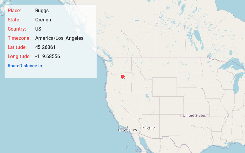
Full AddressRuggs, OR 97836
-
Coordinates45.26361, -119.68556
-
LocationRuggs , Oregon , US
-
TimezoneAmerica/Los_Angeles
-
Current Local Time4:33:51 PM America/Los_AngelesSunday, June 22, 2025
-
Page Views0
About Ruggs
Ruggs is an unincorporated community located in the southern portion of Morrow County, Oregon, United States. Ruggs lies at the junction of Oregon Route 206, Oregon Route 207, Rhea Creek Road, and Upper Rhea Creek Road. The community is situated at an elevation of 2,136 feet.
Nearby Places
Found 10 places within 50 miles

Eightmile
6.3 mi
10.1 km
Eightmile, OR 97836
Get directions
Valby
8.4 mi
13.5 km
Valby, OR 97843
Get directions

Heppner
8.8 mi
14.2 km
Heppner, OR 97836
Get directions

Lexington
12.5 mi
20.1 km
Lexington, OR 97839
Get directions

Lonerock
15.4 mi
24.8 km
Lonerock, OR 97823
Get directions

Ione
17.8 mi
28.6 km
Ione, OR 97843
Get directions
Lena
21.8 mi
35.1 km
Lena, OR 97836
Get directions

Morgan
23.0 mi
37.0 km
Morgan, OR 97843
Get directions

Thirtymile Creek
23.8 mi
38.3 km
Thirtymile Creek, Oregon
Get directions
Gwendolen Canyon
24.0 mi
38.6 km
Gwendolen Canyon, Oregon 97812
Get directions
Location Links
Local Weather
Weather Information
Coming soon!
Location Map
Static map view of Ruggs, Oregon
Browse Places by Distance
Places within specific distances from Ruggs
Short Distances
Long Distances
Click any distance to see all places within that range from Ruggs. Distances shown in miles (1 mile ≈ 1.61 kilometers).