Distance to Runnells, Iowa

Calculating Your Route
Just a moment while we process your request...
Location Information
-
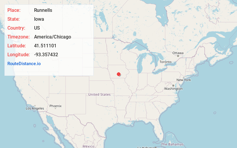
Full AddressRunnells, IA 50237
-
Coordinates41.5111013, -93.3574318
-
LocationRunnells , Iowa , US
-
TimezoneAmerica/Chicago
-
Current Local Time8:24:35 AM America/ChicagoSunday, May 25, 2025
-
Page Views0
About Runnells
Runnells is a city in the southeastern corner of Polk County, Iowa, United States. The population was 457 at the time of the 2020 census. It is part of the Des Moines–West Des Moines Metropolitan Statistical Area. Runnells has its own Post Office, located at 112 Brown Street.

Nearby Places
Found 10 places within 50 miles

Hartford
4.3 mi
6.9 km
Hartford, IA 50118
Get directions

Carlisle
6.8 mi
10.9 km
Carlisle, IA 50047
Get directions

Prairie City
8.8 mi
14.2 km
Prairie City, IA 50228
Get directions

Pleasantville
9.7 mi
15.6 km
Pleasantville, IA 50225
Get directions

Pleasant Hill
9.9 mi
15.9 km
Pleasant Hill, IA
Get directions

Mitchellville
10.7 mi
17.2 km
Mitchellville, IA 50169
Get directions

Altoona
11.0 mi
17.7 km
Altoona, IA
Get directions

Colfax
12.9 mi
20.8 km
Colfax, IA 50054
Get directions
Monroe
13.1 mi
21.1 km
Monroe, IA 50170
Get directions

Bondurant
14.2 mi
22.9 km
Bondurant, IA
Get directions
Location Links
Local Weather
Weather Information
Coming soon!
Location Map
Static map view of Runnells, Iowa
Browse Places by Distance
Places within specific distances from Runnells
Short Distances
Long Distances
Click any distance to see all places within that range from Runnells. Distances shown in miles (1 mile ≈ 1.61 kilometers).