Distance to Runnelstown, Mississippi

Calculating Your Route
Just a moment while we process your request...
Location Information
-
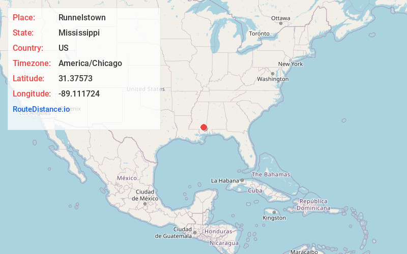
Full AddressRunnelstown, MS 39465
-
Coordinates31.3757295, -89.1117235
-
LocationRunnelstown , Mississippi , US
-
TimezoneAmerica/Chicago
-
Current Local Time1:46:47 AM America/ChicagoThursday, June 19, 2025
-
Page Views0
About Runnelstown
Runnelstown is a census-designated place and unincorporated community located in Perry County, Mississippi.
A post office operated in Runnelstown from 1909 to 1914.
It was first named as a CDP in the 2020 Census which listed a population of 320.
Nearby Places
Found 10 places within 50 miles

Petal
9.0 mi
14.5 km
Petal, MS 39465
Get directions

Richton
10.3 mi
16.6 km
Richton, MS 39476
Get directions

Hattiesburg
11.1 mi
17.9 km
Hattiesburg, MS
Get directions

Glendale
11.5 mi
18.5 km
Glendale, MS 39401
Get directions
New Augusta
12.7 mi
20.4 km
New Augusta, MS 39462
Get directions
Rawls Springs
15.3 mi
24.6 km
Rawls Springs, MS 39402
Get directions
Arnold Line
15.9 mi
25.6 km
Arnold Line, MS 39402
Get directions
West Hattiesburg
16.0 mi
25.7 km
West Hattiesburg, MS 39402
Get directions

Ellisville
16.5 mi
26.6 km
Ellisville, MS 39437
Get directions

Beaumont
18.2 mi
29.3 km
Beaumont, MS 39423
Get directions
Location Links
Local Weather
Weather Information
Coming soon!
Location Map
Static map view of Runnelstown, Mississippi
Browse Places by Distance
Places within specific distances from Runnelstown
Short Distances
Long Distances
Click any distance to see all places within that range from Runnelstown. Distances shown in miles (1 mile ≈ 1.61 kilometers).