Distance to Russell County, Virginia

Calculating Your Route
Just a moment while we process your request...
Location Information
-
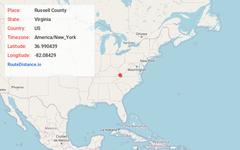
Full AddressRussell County, VA
-
Coordinates36.9904385, -82.0842901
-
LocationVirginia , US
-
TimezoneAmerica/New_York
-
Current Local Time12:15:45 PM America/New_YorkSunday, May 25, 2025
-
Page Views0
About Russell County
Russell County is a county located in the Commonwealth of Virginia. As of the 2020 census, the population was 25,781. Its county seat is Lebanon.


Nearby Places
Found 10 places within 50 miles

Nash Ford
1.5 mi
2.4 km
Nash Ford, VA 24260
Get directions
Coulwood
1.7 mi
2.7 km
Coulwood, VA 24260
Get directions

Cleveland
4.9 mi
7.9 km
Cleveland, VA 24225
Get directions
Jahile
5.3 mi
8.5 km
Jahile, VA 24225
Get directions
South Clinchfield
5.4 mi
8.7 km
South Clinchfield, VA 24225
Get directions

Lebanon
6.2 mi
10.0 km
Lebanon, VA 24266
Get directions
Council
6.3 mi
10.1 km
Council, VA 24646
Get directions
Honaker
6.3 mi
10.1 km
Honaker, VA 24260
Get directions
Venia
7.2 mi
11.6 km
Venia, VA 24646
Get directions
Duty
7.3 mi
11.7 km
Duty, VA 24239
Get directions
Location Links
Local Weather
Weather Information
Coming soon!
Location Map
Static map view of Russell County, Virginia
Browse Places by Distance
Places within specific distances from Russell County
Short Distances
Long Distances
Click any distance to see all places within that range from Russell County. Distances shown in miles (1 mile ≈ 1.61 kilometers).