Distance to Rutherford County, Tennessee

Calculating Your Route
Just a moment while we process your request...
Location Information
-
Full AddressRutherford County, TN
-
Coordinates35.7724263, -86.3376761
-
LocationTennessee , US
-
TimezoneAmerica/Chicago
-
Current Local Time2:25:19 PM America/ChicagoWednesday, July 2, 2025
-
Page Views0
About Rutherford County
Rutherford County is a county located in the U.S. state of Tennessee. It is located in Middle Tennessee. As of a 2023 estimate, the population was 367,101, making it the fifth-most populous county in Tennessee.

Nearby Places
Found 10 places within 50 miles

Christiana
5.5 mi
8.9 km
Christiana, TN
Get directions

Murfreesboro
6.0 mi
9.7 km
Murfreesboro, TN
Get directions

Rockvale
10.9 mi
17.5 km
Rockvale, TN
Get directions

Woodbury
15.4 mi
24.8 km
Woodbury, TN 37190
Get directions

Unionville
17.7 mi
28.5 km
Unionville, TN
Get directions

Smyrna
17.7 mi
28.5 km
Smyrna, TN
Get directions

Shelbyville
21.1 mi
34.0 km
Shelbyville, TN
Get directions

La Vergne
21.7 mi
34.9 km
La Vergne, TN
Get directions

Nolensville
22.4 mi
36.0 km
Nolensville, TN
Get directions

Chapel Hill
22.4 mi
36.0 km
Chapel Hill, TN 37034
Get directions
Location Links
Local Weather
Weather Information
Coming soon!
Location Map
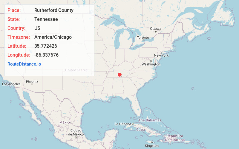
Static map view of Rutherford County, Tennessee
Browse Places by Distance
Places within specific distances from Rutherford County
Short Distances
Long Distances
Click any distance to see all places within that range from Rutherford County. Distances shown in miles (1 mile ≈ 1.61 kilometers).