Distance to Rye Beach, New Hampshire

Calculating Your Route
Just a moment while we process your request...
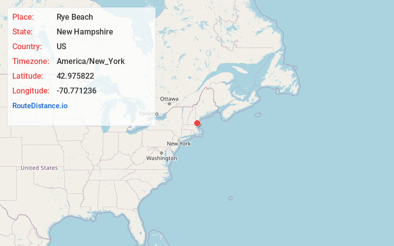
Location Information
-
Full AddressRye Beach, Rye, NH
-
Coordinates42.975822, -70.7712359
-
NeighborhoodRye Beach
-
LocationRye , New Hampshire , US
-
TimezoneAmerica/New_York
-
Current Local Time2:58:02 PM America/New_YorkTuesday, June 17, 2025
-
Page Views0
About Rye Beach
Rye Beach is an unincorporated community along the Atlantic Ocean in Rye, New Hampshire, United States. It is located along New Hampshire Route 1A near the southern border of the town of Rye, directly south of Jenness State Beach and north of Little Boar's Head.


Nearby Places
Found 10 places within 50 miles

Rye
1.2 mi
1.9 km
Rye, NH
Get directions

North Hampton
3.2 mi
5.1 km
North Hampton, NH
Get directions

Hampton
4.3 mi
6.9 km
Hampton, NH
Get directions

Greenland
5.2 mi
8.4 km
Greenland, NH
Get directions

Hampton Falls
6.2 mi
10.0 km
Hampton Falls, NH
Get directions

Portsmouth
6.6 mi
10.6 km
Portsmouth, NH 03801
Get directions

New Castle
7.2 mi
11.6 km
New Castle, NH
Get directions

Seabrook
7.6 mi
12.2 km
Seabrook, NH
Get directions

Kittery
7.8 mi
12.6 km
Kittery, ME
Get directions

Stratham
8.0 mi
12.9 km
Stratham, NH
Get directions
Location Links
Local Weather
Weather Information
Coming soon!
Location Map
Static map view of Rye Beach, New Hampshire
Browse Places by Distance
Places within specific distances from Rye Beach
Short Distances
Long Distances
Click any distance to see all places within that range from Rye Beach. Distances shown in miles (1 mile ≈ 1.61 kilometers).