Distance to Ryegate, Montana

Calculating Your Route
Just a moment while we process your request...
Location Information
-
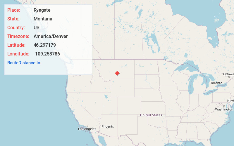
Full AddressRyegate, MT 59074
-
Coordinates46.2971794, -109.2587859
-
LocationRyegate , Montana , US
-
TimezoneAmerica/Denver
-
Current Local Time7:48:39 AM America/DenverWednesday, June 18, 2025
-
Page Views0
About Ryegate
Ryegate is a town in, and the county seat of, Golden Valley County, Montana, United States. The population was 223 at the 2020 census. Ryegate is situated on the north bank of the Musselshell River.
The Milwaukee Road established Ryegate in 1908 as a depot and station stop.


Nearby Places
Found 7 places within 50 miles

Harlowton
29.1 mi
46.8 km
Harlowton, MT 59036
Get directions

Klein
34.6 mi
55.7 km
Klein, MT 59072
Get directions

Roundup
35.7 mi
57.5 km
Roundup, MT 59072
Get directions

Columbus
45.6 mi
73.4 km
Columbus, MT 59019
Get directions

Big Timber
46.2 mi
74.4 km
Big Timber, MT 59011
Get directions

Park City
49.0 mi
78.9 km
Park City, MT 59063
Get directions

Laurel
49.3 mi
79.3 km
Laurel, MT 59044
Get directions
Location Links
Local Weather
Weather Information
Coming soon!
Location Map
Static map view of Ryegate, Montana
Browse Places by Distance
Places within specific distances from Ryegate
Short Distances
Long Distances
Click any distance to see all places within that range from Ryegate. Distances shown in miles (1 mile ≈ 1.61 kilometers).