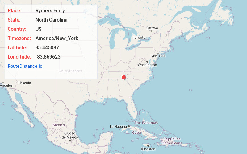
Distance to Rymers Ferry, North Carolina

Calculating Your Route
Just a moment while we process your request...
Location Information
-
Full AddressRymers Ferry, NC 28771
-
Coordinates35.4450866, -83.8696225
-
LocationNorth Carolina , US
-
TimezoneAmerica/New_York
-
Current Local Time12:51:44 AM America/New_YorkFriday, May 23, 2025
-
Page Views0
Nearby Places
Found 10 places within 50 miles

Fairfax
1.8 mi
2.9 km
Fairfax, NC 28733
Get directions

Lake Santeetlah
5.6 mi
9.0 km
Lake Santeetlah, NC 28771
Get directions

Robbinsville
9.1 mi
14.6 km
Robbinsville, NC 28771
Get directions
Milltown
9.8 mi
15.8 km
Milltown, NC 28771
Get directions
Cheoah
10.0 mi
16.1 km
Cheoah, NC 28771
Get directions

Chilhowee Lake
10.7 mi
17.2 km
Chilhowee Lake, Tennessee
Get directions
Stecoah
11.4 mi
18.3 km
Stecoah, NC 28771
Get directions
Sweetgum
12.0 mi
19.3 km
Sweetgum, NC 28771
Get directions
McGuires
12.2 mi
19.6 km
McGuires, NC 28771
Get directions

Tallassee
12.8 mi
20.6 km
Tallassee, TN 37878
Get directions
Location Links
Local Weather
Weather Information
Coming soon!
Location Map
Static map view of Rymers Ferry, North Carolina
Browse Places by Distance
Places within specific distances from Rymers Ferry
Short Distances
Long Distances
Click any distance to see all places within that range from Rymers Ferry. Distances shown in miles (1 mile ≈ 1.61 kilometers).