Distance to Sabbath Day Point, New York

Calculating Your Route
Just a moment while we process your request...
Location Information
-
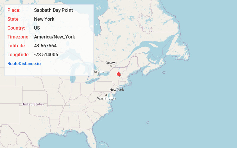
Full AddressSabbath Day Point, NY 12874
-
Coordinates43.6675639, -73.5140063
-
LocationSabbath Day Point , New York , US
-
TimezoneAmerica/New_York
-
Current Local Time9:11:19 PM America/New_YorkTuesday, June 24, 2025
-
Page Views0


Nearby Places
Found 10 places within 50 miles

Huletts Landing
2.0 mi
3.2 km
Huletts Landing, NY
Get directions

Silver Bay
2.0 mi
3.2 km
Silver Bay, NY 12874
Get directions

Clemons
4.1 mi
6.6 km
Clemons, NY
Get directions
Glenburnie
7.2 mi
11.6 km
Glenburnie, Putnam, NY 12861
Get directions

West Haven
8.4 mi
13.5 km
West Haven, VT 05743
Get directions

Whitehall
9.5 mi
15.3 km
Whitehall, NY
Get directions

Horicon
9.8 mi
15.8 km
Horicon, NY
Get directions

Bolton Landing
10.3 mi
16.6 km
Bolton Landing, NY 12814
Get directions

Benson
10.5 mi
16.9 km
Benson, VT
Get directions
Low Hampton
12.2 mi
19.6 km
Low Hampton, NY 12887
Get directions
Location Links
Local Weather
Weather Information
Coming soon!
Location Map
Static map view of Sabbath Day Point, New York
Browse Places by Distance
Places within specific distances from Sabbath Day Point
Short Distances
Long Distances
Click any distance to see all places within that range from Sabbath Day Point. Distances shown in miles (1 mile ≈ 1.61 kilometers).