Distance to Sabre Springs, California

Calculating Your Route
Just a moment while we process your request...
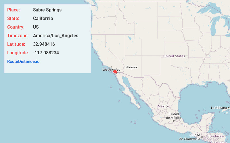
Location Information
-
Full AddressSabre Springs, San Diego, CA
-
Coordinates32.9484161, -117.0882341
-
NeighborhoodSabre Springs
-
LocationSan Diego , California , US
-
TimezoneAmerica/Los_Angeles
-
Current Local Time1:48:59 PM America/Los_AngelesSaturday, May 31, 2025
-
Page Views0
About Sabre Springs
Sabre Springs is a community in San Diego, California, located in the northeastern part of the city. It is bounded by the city limits of Poway on the east, Ted Williams Parkway on the north, Interstate 15 on the west, and the community of Miramar Ranch North to the south.

Nearby Places
Found 10 places within 50 miles

Poway
3.2 mi
5.1 km
Poway, CA
Get directions

Lake Poway
6.1 mi
9.8 km
Lake Poway, Poway, CA 92064
Get directions

Fairbanks Ranch
6.6 mi
10.6 km
Fairbanks Ranch, CA
Get directions

Rock Haven Spring
7.7 mi
12.4 km
Rock Haven Spring, Poway, CA 92064
Get directions

Iron Mountain
7.9 mi
12.7 km
Iron Mountain, Poway, CA 92065
Get directions

Lake Hodges
7.9 mi
12.7 km
Lake Hodges, San Diego, CA
Get directions
Del Dios
8.9 mi
14.3 km
Del Dios, CA 92029
Get directions

Eucalyptus Hills
9.6 mi
15.4 km
Eucalyptus Hills, CA 92040
Get directions

Elfin Forest
9.7 mi
15.6 km
Elfin Forest, CA 92029
Get directions

Del Mar Heights
10.0 mi
16.1 km
Del Mar Heights, Del Mar, CA 92014
Get directions
Location Links
Local Weather
Weather Information
Coming soon!
Location Map
Static map view of Sabre Springs, California
Browse Places by Distance
Places within specific distances from Sabre Springs
Short Distances
Long Distances
Click any distance to see all places within that range from Sabre Springs. Distances shown in miles (1 mile ≈ 1.61 kilometers).