Distance to Saddlebrooke, Missouri

Calculating Your Route
Just a moment while we process your request...
Location Information
-
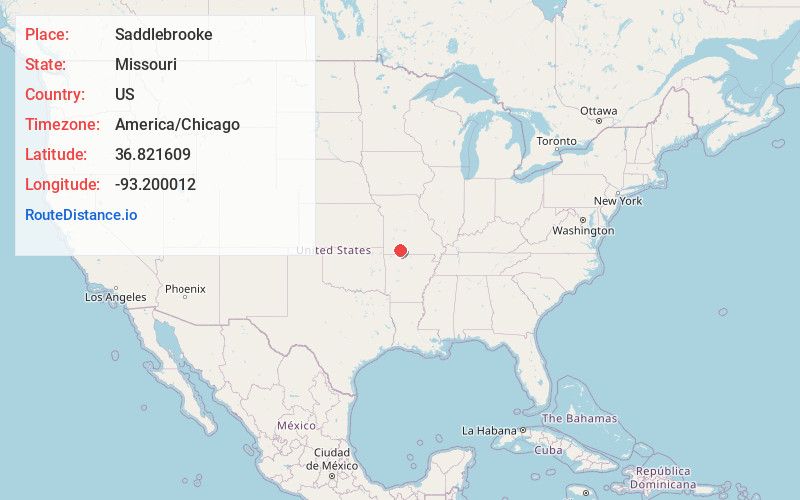
Full AddressSaddlebrooke, MO
-
Coordinates36.8216091, -93.2000117
-
LocationSaddlebrooke , Missouri , US
-
TimezoneAmerica/Chicago
-
Current Local Time4:20:16 AM America/ChicagoWednesday, June 18, 2025
-
Page Views0
About Saddlebrooke
Saddlebrooke is a village located in southern Christian County, Missouri, on U.S. Route 65. A small portion of the village extends into Taney County. It is a master-planned community which incorporated in 2003. The population was 309 at the time of the 2020 census.


Nearby Places
Found 10 places within 50 miles

Bull Creek
7.4 mi
11.9 km
Bull Creek, MO 65616
Get directions

Merriam Woods
7.6 mi
12.2 km
Merriam Woods, MO
Get directions

Rockaway Beach
8.7 mi
14.0 km
Rockaway Beach, MO
Get directions

Highlandville
8.9 mi
14.3 km
Highlandville, MO
Get directions

Forsyth
10.4 mi
16.7 km
Forsyth, MO 65653
Get directions

Reeds Spring
11.0 mi
17.7 km
Reeds Spring, MO 65737
Get directions

Branson
12.3 mi
19.8 km
Branson, MO 65616
Get directions

Kissee Mills
12.6 mi
20.3 km
Kissee Mills, MO
Get directions

Branson West
12.7 mi
20.4 km
Branson West, MO 65737
Get directions

Ozark
13.8 mi
22.2 km
Ozark, MO
Get directions
Location Links
Local Weather
Weather Information
Coming soon!
Location Map
Static map view of Saddlebrooke, Missouri
Browse Places by Distance
Places within specific distances from Saddlebrooke
Short Distances
Long Distances
Click any distance to see all places within that range from Saddlebrooke. Distances shown in miles (1 mile ≈ 1.61 kilometers).