Distance to Saffell, Arkansas

Calculating Your Route
Just a moment while we process your request...
Location Information
-
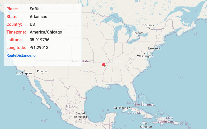
Full AddressSaffell, AR 72572
-
Coordinates35.9197957, -91.2901304
-
LocationSaffell , Arkansas , US
-
TimezoneAmerica/Chicago
-
Current Local Time1:44:06 PM America/ChicagoTuesday, June 24, 2025
-
Page Views0
About Saffell
Saffell is an unincorporated community in Lawrence County, Arkansas, United States. Saffell is located at the junction of Arkansas highways 25 and 361, 3.5 miles south-southeast of Strawberry. Saffell has a post office with ZIP code 72572.
Nearby Places
Found 10 places within 50 miles

Strawberry
3.7 mi
6.0 km
Strawberry, AR 72469
Get directions
Dowdy
4.8 mi
7.7 km
Dowdy, AR 72524
Get directions
Lockheart
6.2 mi
10.0 km
Lockheart, AR 72572
Get directions

Lynn
6.4 mi
10.3 km
Lynn, AR
Get directions
Shelbyville
6.7 mi
10.8 km
Shelbyville, AR 72521
Get directions
Jesup
7.2 mi
11.6 km
Jesup, AR 72469
Get directions
Cedar Grove
7.9 mi
12.7 km
Cedar Grove, AR 72579
Get directions
Cord
8.0 mi
12.9 km
Cord, AR 72524
Get directions
Calamine
8.8 mi
14.2 km
Calamine, AR 72466
Get directions
Strangers Home
9.0 mi
14.5 km
Strangers Home, AR 72410
Get directions
Location Links
Local Weather
Weather Information
Coming soon!
Location Map
Static map view of Saffell, Arkansas
Browse Places by Distance
Places within specific distances from Saffell
Short Distances
Long Distances
Click any distance to see all places within that range from Saffell. Distances shown in miles (1 mile ≈ 1.61 kilometers).