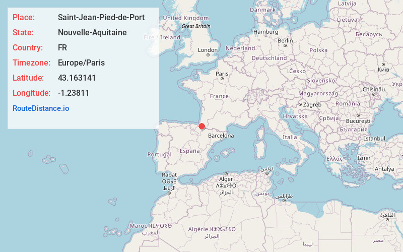
Distance to Saint-Jean-Pied-de-Port, Nouvelle-Aquitaine

Calculating Your Route
Just a moment while we process your request...
Location Information
-
Full Address64220 Saint-Jean-Pied-de-Port, France
-
Coordinates43.163141, -1.23811
-
LocationSaint-Jean-Pied-de-Port , Nouvelle-Aquitaine , FR
-
TimezoneEurope/Paris
-
Current Local Time2:35:41 PM Europe/ParisTuesday, June 3, 2025
-
Page Views1
About Saint-Jean-Pied-de-Port
Saint-Jean-Pied-de-Port is a commune in the Pyrénées-Atlantiques department in south-western France. It is close to Ostabat in the Pyrenean foothills. The town is the old capital of the traditional Basque province of Lower Navarre. Saint-Jean-Pied-de-Port is the second most popular starting point of the French Way.


Location Links
Local Weather
Weather Information
Coming soon!
Location Map
Static map view of Saint-Jean-Pied-de-Port, Nouvelle-Aquitaine
Browse Places by Distance
Places within specific distances from Saint-Jean-Pied-de-Port
Short Distances
Long Distances
Click any distance to see all places within that range from Saint-Jean-Pied-de-Port. Distances shown in miles (1 mile ≈ 1.61 kilometers).