Distance to Salem, West Virginia

Calculating Your Route
Just a moment while we process your request...
Location Information
-
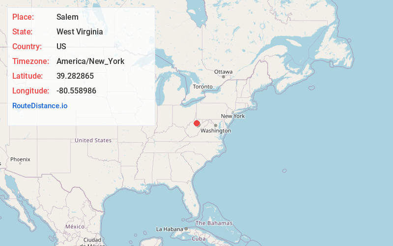
Full AddressSalem, WV 26426
-
Coordinates39.2828653, -80.5589856
-
LocationSalem , West Virginia , US
-
TimezoneAmerica/New_York
-
Current Local Time2:41:33 AM America/New_YorkThursday, June 19, 2025
-
Page Views0
About Salem
Salem is a city in Harrison County, West Virginia, United States. The population was 1,485 at the 2020 census. It is located at the junction of U.S. Route 50 and West Virginia Route 23; the North Bend Rail Trail passes through the city. Salem University is located in Salem.


Nearby Places
Found 10 places within 50 miles

Clarksburg
11.5 mi
18.5 km
Clarksburg, WV
Get directions

Stonewood
13.4 mi
21.6 km
Stonewood, WV 26301
Get directions

Shinnston
15.9 mi
25.6 km
Shinnston, WV 26431
Get directions

Bridgeport
16.2 mi
26.1 km
Bridgeport, WV
Get directions

Weston
17.6 mi
28.3 km
Weston, WV 26452
Get directions

Pleasant Valley
25.3 mi
40.7 km
Pleasant Valley, WV 26554
Get directions

Fairmont
26.3 mi
42.3 km
Fairmont, WV 26554
Get directions

Buckhannon
26.6 mi
42.8 km
Buckhannon, WV 26201
Get directions

Grafton
29.1 mi
46.8 km
Grafton, WV 26354
Get directions

Philippi
29.2 mi
47.0 km
Philippi, WV 26416
Get directions
Location Links
Local Weather
Weather Information
Coming soon!
Location Map
Static map view of Salem, West Virginia
Browse Places by Distance
Places within specific distances from Salem
Short Distances
Long Distances
Click any distance to see all places within that range from Salem. Distances shown in miles (1 mile ≈ 1.61 kilometers).