Distance to Salisbury Center, New York

Calculating Your Route
Just a moment while we process your request...
Location Information
-
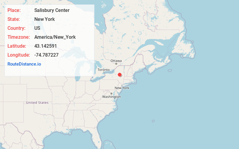
Full AddressSalisbury Center, NY
-
Coordinates43.1425912, -74.7872265
-
LocationSalisbury Center , New York , US
-
TimezoneAmerica/New_York
-
Current Local Time7:08:43 PM America/New_YorkTuesday, June 3, 2025
-
Page Views0
About Salisbury Center
Salisbury Center is a hamlet located in the Town of Salisbury in Herkimer County, New York, United States. Salisbury Center has a post office with zip code 13454.
New York State Route 29 and New York State Route 29A intersect in the CDP, with NY 29A having its western terminus at the intersection.
Nearby Places
Found 10 places within 50 miles

Dolgeville
3.0 mi
4.8 km
Dolgeville, NY 13329
Get directions

Manheim
5.9 mi
9.5 km
Manheim, NY
Get directions

Oppenheim
6.8 mi
10.9 km
Oppenheim, NY 13452
Get directions

Little Falls
7.8 mi
12.6 km
Little Falls, NY 13365
Get directions

Middleville
9.1 mi
14.6 km
Middleville, NY
Get directions

St Johnsville
11.3 mi
18.2 km
St Johnsville, NY 13452
Get directions
Newport
11.8 mi
19.0 km
Newport, NY 13416
Get directions

Herkimer
12.9 mi
20.8 km
Herkimer, NY 13350
Get directions

German Flatts
15.0 mi
24.1 km
German Flatts, NY
Get directions

Arietta
15.4 mi
24.8 km
Arietta, NY 12032
Get directions
Location Links
Local Weather
Weather Information
Coming soon!
Location Map
Static map view of Salisbury Center, New York
Browse Places by Distance
Places within specific distances from Salisbury Center
Short Distances
Long Distances
Click any distance to see all places within that range from Salisbury Center. Distances shown in miles (1 mile ≈ 1.61 kilometers).