Distance to Salisbury, Connecticut

Calculating Your Route
Just a moment while we process your request...
Location Information
-
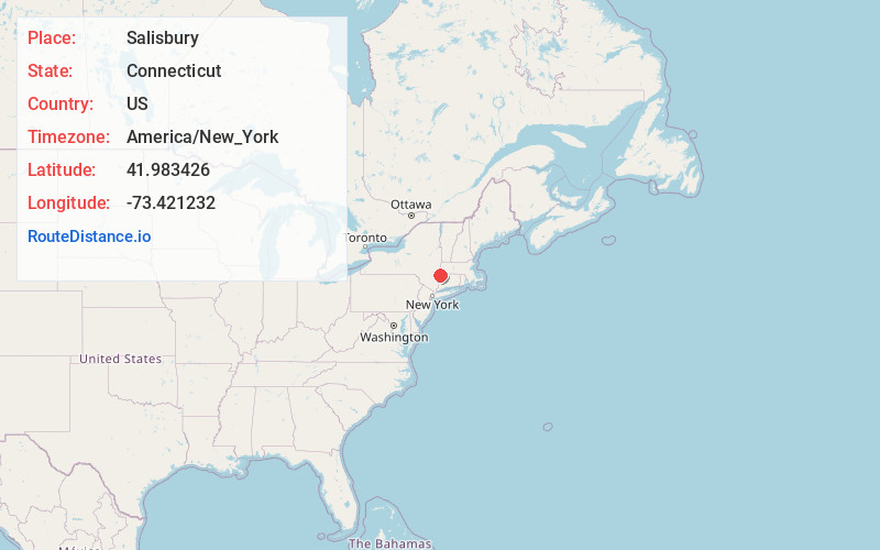
Full AddressSalisbury, CT
-
Coordinates41.983426, -73.4212318
-
LocationSalisbury , Connecticut , US
-
TimezoneAmerica/New_York
-
Current Local Time12:31:11 AM America/New_YorkFriday, June 20, 2025
-
Website
-
Page Views0
About Salisbury
Salisbury is a town situated in Litchfield County, Connecticut, United States. The town is the northwesternmost in the state of Connecticut; the Connecticut-Massachusetts-New York tri-state marker is located at the northwestern corner of the town. The population was 4,194 at the 2020 census.


Nearby Places
Found 10 places within 50 miles

Twin Lakes
3.5 mi
5.6 km
Twin Lakes, Salisbury, CT 06068
Get directions

Mt Riga
4.9 mi
7.9 km
Mt Riga, North East, NY 12546
Get directions

Millerton
5.0 mi
8.0 km
Millerton, NY 12546
Get directions
North Canaan
5.7 mi
9.2 km
North Canaan, CT
Get directions

Canaan
6.4 mi
10.3 km
Canaan, CT
Get directions

Mt Washington
7.2 mi
11.6 km
Mt Washington, MA
Get directions
North East
7.3 mi
11.7 km
North East, NY
Get directions
Coleman Station
7.5 mi
12.1 km
Coleman Station, North East, NY 12501
Get directions
Sharon Station
8.6 mi
13.8 km
Sharon Station, North East, NY 12501
Get directions
Mitcheltown
8.9 mi
14.3 km
Mitcheltown, Sharon, CT 06069
Get directions
Location Links
Local Weather
Weather Information
Coming soon!
Location Map
Static map view of Salisbury, Connecticut
Browse Places by Distance
Places within specific distances from Salisbury
Short Distances
Long Distances
Click any distance to see all places within that range from Salisbury. Distances shown in miles (1 mile ≈ 1.61 kilometers).