Distance to Salmo, Wisconsin

Calculating Your Route
Just a moment while we process your request...
Location Information
-
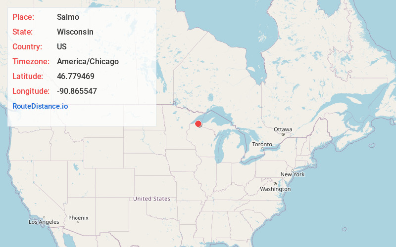
Full AddressSalmo, WI 54814
-
Coordinates46.779469, -90.865547
-
LocationSalmo , Wisconsin , US
-
TimezoneAmerica/Chicago
-
Current Local Time3:09:06 AM America/ChicagoFriday, June 6, 2025
-
Page Views0
About Salmo
Salmo is an unincorporated community in Bayfield County, Wisconsin, United States.
Wisconsin Highway 13 serves as a main route in the community. Salmo is located 3 miles southwest of the city of Bayfield, in the town of Bayfield.
The community is also located 19 miles north of the city of Ashland.
Nearby Places
Found 10 places within 50 miles

Pureair
1.1 mi
1.8 km
Pureair, WI 54814
Get directions
Sioux
3.0 mi
4.8 km
Sioux, WI 54891
Get directions

Bayfield
3.1 mi
5.0 km
Bayfield, WI 54814
Get directions

La Pointe
3.7 mi
6.0 km
La Pointe, WI 54814
Get directions

Washburn
7.5 mi
12.1 km
Washburn, WI 54891
Get directions

Red Cliff Reservation
10.2 mi
16.4 km
Red Cliff Reservation, Bayfield, WI 54814
Get directions
Barksdale
11.4 mi
18.3 km
Barksdale, WI 54806
Get directions

Sand Bay
11.6 mi
18.7 km
Sand Bay, WI 54814
Get directions

Cornucopia
12.4 mi
20.0 km
Cornucopia, WI 54827
Get directions

Ashland
13.0 mi
20.9 km
Ashland, WI
Get directions
Location Links
Local Weather
Weather Information
Coming soon!
Location Map
Static map view of Salmo, Wisconsin
Browse Places by Distance
Places within specific distances from Salmo
Short Distances
Long Distances
Click any distance to see all places within that range from Salmo. Distances shown in miles (1 mile ≈ 1.61 kilometers).