Distance to Salter Path, North Carolina

Calculating Your Route
Just a moment while we process your request...
Location Information
-
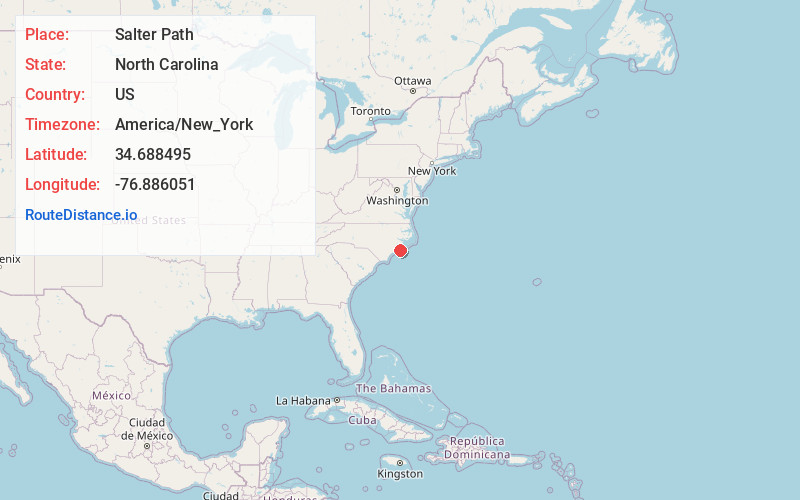
Full AddressSalter Path, NC 28512
-
Coordinates34.6884952, -76.886051
-
LocationSalter Path , North Carolina , US
-
TimezoneAmerica/New_York
-
Current Local Time5:09:41 PM America/New_YorkTuesday, June 17, 2025
-
Page Views0
About Salter Path
Salter Path is an unincorporated community in Carteret County, North Carolina, United States. A Crystal Coast community, it lies on Bogue Banks as an enclave within Indian Beach.


Nearby Places
Found 10 places within 50 miles

Indian Beach
0.5 mi
0.8 km
Indian Beach, NC
Get directions

Broad Creek
3.6 mi
5.8 km
Broad Creek, NC 28570
Get directions

Emerald Isle
3.7 mi
6.0 km
Emerald Isle, NC 28594
Get directions

Pine Knoll Shores
4.2 mi
6.8 km
Pine Knoll Shores, NC
Get directions

Wildwood
5.4 mi
8.7 km
Wildwood, NC 28570
Get directions

Mansfield
6.4 mi
10.3 km
Mansfield, Morehead City, NC 28557
Get directions

Newport
6.9 mi
11.1 km
Newport, NC 28570
Get directions

Bogue
8.2 mi
13.2 km
Bogue, NC
Get directions

Atlantic Beach
8.3 mi
13.4 km
Atlantic Beach, NC 28512
Get directions
Money Island Beach
9.4 mi
15.1 km
Money Island Beach, Atlantic Beach, NC 28512
Get directions
Location Links
Local Weather
Weather Information
Coming soon!
Location Map
Static map view of Salter Path, North Carolina
Browse Places by Distance
Places within specific distances from Salter Path
Short Distances
Long Distances
Click any distance to see all places within that range from Salter Path. Distances shown in miles (1 mile ≈ 1.61 kilometers).