Distance to Salunga, Pennsylvania

Calculating Your Route
Just a moment while we process your request...
Location Information
-
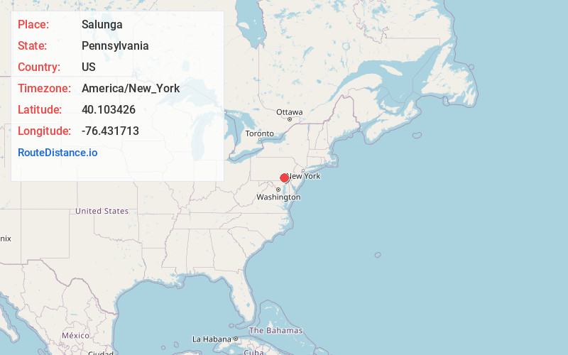
Full AddressSalunga, PA
-
Coordinates40.1034258, -76.4317126
-
LocationSalunga , Pennsylvania , US
-
TimezoneAmerica/New_York
-
Current Local Time4:59:34 PM America/New_YorkTuesday, July 1, 2025
-
Page Views0
About Salunga
Salunga is an unincorporated community and census-designated place in West Hempfield and East Hempfield townships in Lancaster County, Pennsylvania, United States. As of the 2010 census, the population was 2,695.

Nearby Places
Found 10 places within 50 miles

Hempfield School District
2.5 mi
4.0 km
Hempfield School District, PA
Get directions
Silver Spring
2.7 mi
4.3 km
Silver Spring, PA 17512
Get directions

East Hempfield Township
3.4 mi
5.5 km
East Hempfield Township, PA
Get directions

Mount Joy
3.8 mi
6.1 km
Mount Joy, PA 17552
Get directions

West Hempfield Township
4.1 mi
6.6 km
West Hempfield Township, PA
Get directions

East Petersburg
4.1 mi
6.6 km
East Petersburg, PA
Get directions

Manheim
4.6 mi
7.4 km
Manheim, PA 17545
Get directions

Rapho Township
6.1 mi
9.8 km
Rapho Township, PA
Get directions

Columbia
6.2 mi
10.0 km
Columbia, PA 17512
Get directions
East Donegal Township
7.0 mi
11.3 km
East Donegal Township, PA
Get directions
Location Links
Local Weather
Weather Information
Coming soon!
Location Map
Static map view of Salunga, Pennsylvania
Browse Places by Distance
Places within specific distances from Salunga
Short Distances
Long Distances
Click any distance to see all places within that range from Salunga. Distances shown in miles (1 mile ≈ 1.61 kilometers).