Distance to Samantha, Alabama

Calculating Your Route
Just a moment while we process your request...
Location Information
-
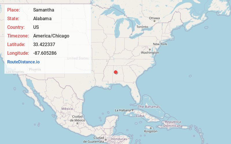
Full AddressSamantha, AL 35475
-
Coordinates33.422337, -87.6052856
-
LocationSamantha , Alabama , US
-
TimezoneAmerica/Chicago
-
Current Local Time3:07:39 PM America/ChicagoWednesday, June 25, 2025
-
Page Views0
About Samantha
Samantha is an unincorporated community in Tuscaloosa County, Alabama, United States. Samantha is located along U.S. Route 43, 14.8 miles north of Tuscaloosa. Samantha has a post office with ZIP code 35482. Samantha was named in honor of the wife of the first postmaster, Sylvester Monroe Cowden.
Nearby Places
Found 10 places within 50 miles

Windham Springs
7.8 mi
12.6 km
Windham Springs, AL 35546
Get directions
Brownville
8.8 mi
14.2 km
Brownville, AL 35475
Get directions
Shirley
9.6 mi
15.4 km
Shirley, AL 35446
Get directions
New Lexington
10.1 mi
16.3 km
New Lexington, AL 35546
Get directions
Moores Bridge
11.0 mi
17.7 km
Moores Bridge, AL 35555
Get directions
Wiley
11.2 mi
18.0 km
Wiley, AL 35546
Get directions
Echola
11.9 mi
19.2 km
Echola, AL 35458
Get directions

Coker
13.1 mi
21.1 km
Coker, AL 35452
Get directions
Sandtown
13.3 mi
21.4 km
Sandtown, AL 35546
Get directions

Northport
13.5 mi
21.7 km
Northport, AL
Get directions
Location Links
Local Weather
Weather Information
Coming soon!
Location Map
Static map view of Samantha, Alabama
Browse Places by Distance
Places within specific distances from Samantha
Short Distances
Long Distances
Click any distance to see all places within that range from Samantha. Distances shown in miles (1 mile ≈ 1.61 kilometers).