Distance to San Felipe, Guanajuato

Calculating Your Route
Just a moment while we process your request...
Location Information
-
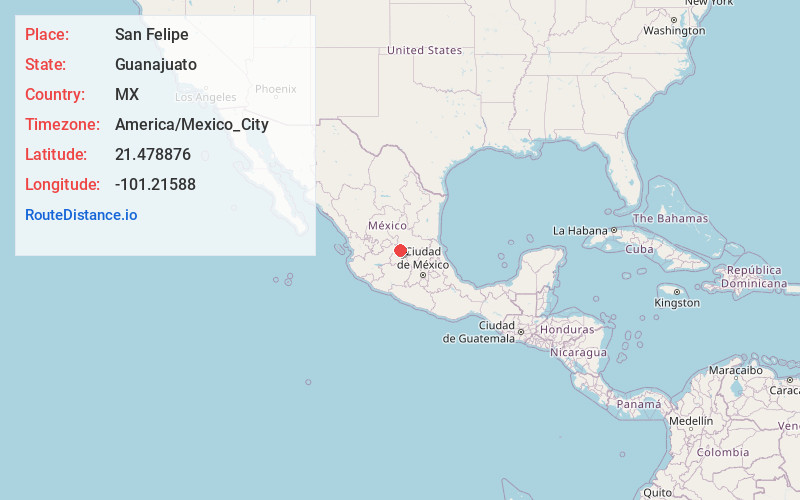
Full AddressSan Felipe, Guanajuato, Mexico
-
Coordinates21.4788756, -101.21588
-
LocationSan Felipe , Guanajuato , MX
-
TimezoneAmerica/Mexico_City
-
Current Local Time7:08:19 PM America/Mexico_CitySaturday, May 31, 2025
-
Website
-
Page Views0
About San Felipe
San Felipe, known colloquially as "San Felipe Torres Mochas", is a Mexican city and municipality located in the northwest region of the state of Guanajuato. The municipality has an area of 2,969.79 square kilometers, making it the biggest municipality in terms of size.


Nearby Places
Found 5 places within 50 miles

Dolores Hidalgo
28.9 mi
46.5 km
Dolores Hidalgo, Guanajuato, Mexico
Get directions

Guanajuato
31.9 mi
51.3 km
Guanajuato, Mexico
Get directions

Leon
38.9 mi
62.6 km
Leon, Guanajuato, Mexico
Get directions

San Luis Potosi
49.1 mi
79.0 km
San Luis Potosi, Mexico
Get directions

San Miguel de Allende
49.4 mi
79.5 km
San Miguel de Allende, Guanajuato, Mexico
Get directions
Location Links
Local Weather
Weather Information
Coming soon!
Location Map
Static map view of San Felipe, Guanajuato
Browse Places by Distance
Places within specific distances from San Felipe
Short Distances
Long Distances
Click any distance to see all places within that range from San Felipe. Distances shown in miles (1 mile ≈ 1.61 kilometers).