Distance to San Gregorio, California

Calculating Your Route
Just a moment while we process your request...
Location Information
-
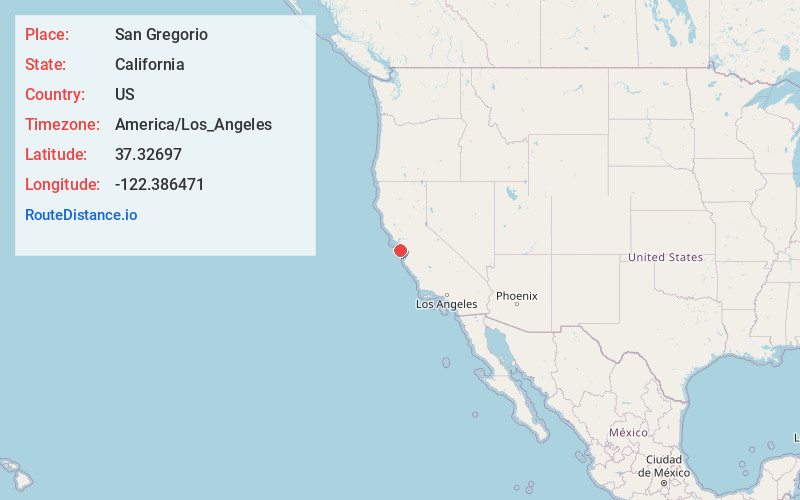
Full AddressSan Gregorio, CA
-
Coordinates37.3269704, -122.3864706
-
LocationSan Gregorio , California , US
-
TimezoneAmerica/Los_Angeles
-
Current Local Time11:29:14 AM America/Los_AngelesSunday, June 1, 2025
-
Page Views0
About San Gregorio
San Gregorio is an unincorporated community in San Mateo County, California, with a population of 214 people. It is located in the San Francisco Bay Area, south of Half Moon Bay. Just east of Highway 1, it is one mile inland on Highway 84, from San Gregorio State Beach.


Nearby Places
Found 10 places within 50 miles

Martin's Beach
3.4 mi
5.5 km
Martin's Beach, California
Get directions

Pescadero
5.0 mi
8.0 km
Pescadero, CA
Get directions

Loma Mar
5.8 mi
9.3 km
Loma Mar, CA
Get directions
Dearborn Park
6.0 mi
9.7 km
Dearborn Park, CA 94060
Get directions

La Honda
6.2 mi
10.0 km
La Honda, CA
Get directions
Spanish Ranch Creek
6.6 mi
10.6 km
Spanish Ranch Creek, California 94062
Get directions
Grabtown
7.0 mi
11.3 km
Grabtown, CA 94062
Get directions

Butano Park
7.2 mi
11.6 km
Butano Park, CA 94060
Get directions

Portola Valley
9.2 mi
14.8 km
Portola Valley, CA
Get directions

Woodside
10.2 mi
16.4 km
Woodside, CA
Get directions
Location Links
Local Weather
Weather Information
Coming soon!
Location Map
Static map view of San Gregorio, California
Browse Places by Distance
Places within specific distances from San Gregorio
Short Distances
Long Distances
Click any distance to see all places within that range from San Gregorio. Distances shown in miles (1 mile ≈ 1.61 kilometers).