Distance to San Luis Rey, California

Calculating Your Route
Just a moment while we process your request...
Location Information
-
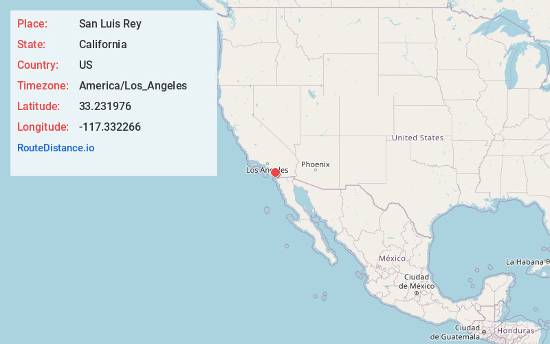
Full AddressSan Luis Rey, Oceanside, CA
-
Coordinates33.2319758, -117.3322661
-
NeighborhoodSan Luis Rey
-
LocationOceanside , California , US
-
TimezoneAmerica/Los_Angeles
-
Current Local Time8:49:04 AM America/Los_AngelesMonday, June 2, 2025
-
Page Views0
About San Luis Rey
San Luis Rey is a neighborhood in Oceanside, California. San Luis Rey is along the San Luis Rey River, 4 miles northeast of downtown Oceanside. San Luis Rey has a post office with ZIP Code 92068, which opened in 1861.

Nearby Places
Found 10 places within 50 miles

Camp Pendleton South
2.7 mi
4.3 km
Camp Pendleton South, CA 92058
Get directions

Oceanside
3.6 mi
5.8 km
Oceanside, CA
Get directions

Carlsbad
4.7 mi
7.6 km
Carlsbad, CA
Get directions

Vista
5.6 mi
9.0 km
Vista, CA
Get directions

Jofegan
5.7 mi
9.2 km
Jofegan, Camp Pendleton North, CA 92058
Get directions

Camp Pendleton North
6.0 mi
9.7 km
Camp Pendleton North, CA
Get directions
Farr
7.0 mi
11.3 km
Farr, Carlsbad, CA 92008
Get directions

Bonsall
7.3 mi
11.7 km
Bonsall, CA
Get directions
San Luis Rey Heights
9.3 mi
15.0 km
San Luis Rey Heights, CA 92028
Get directions
Winterwarm
9.8 mi
15.8 km
Winterwarm, CA 92028
Get directions
Location Links
Local Weather
Weather Information
Coming soon!
Location Map
Static map view of San Luis Rey, California
Browse Places by Distance
Places within specific distances from San Luis Rey
Short Distances
Long Distances
Click any distance to see all places within that range from San Luis Rey. Distances shown in miles (1 mile ≈ 1.61 kilometers).