Distance to San Miguel, New Mexico

Calculating Your Route
Just a moment while we process your request...
Location Information
-
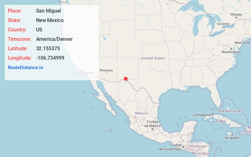
Full AddressSan Miguel, NM 88044
-
Coordinates32.1553751, -106.7349993
-
LocationSan Miguel , New Mexico , US
-
TimezoneAmerica/Denver
-
Current Local Time11:30:33 AM America/DenverWednesday, June 4, 2025
-
Page Views0
About San Miguel
San Miguel is a census-designated place in Doña Ana County, New Mexico, United States. Its population was 1,153 as of the 2010 census. San Miguel has a post office with ZIP code 88058. The community is located at the junction of state routes 28 and 192.


Nearby Places
Found 10 places within 50 miles

Mesquite
2.3 mi
3.7 km
Mesquite, NM
Get directions

La Mesa
2.8 mi
4.5 km
La Mesa, NM 88044
Get directions

Tortugas
8.0 mi
12.9 km
Tortugas, NM 88001
Get directions

Chamberino
8.7 mi
14.0 km
Chamberino, NM
Get directions

Mesilla
8.8 mi
14.2 km
Mesilla, NM
Get directions

University Park
8.9 mi
14.3 km
University Park, NM
Get directions

Las Cruces
11.3 mi
18.2 km
Las Cruces, NM
Get directions

Fairacres
11.6 mi
18.7 km
Fairacres, NM
Get directions

Anthony
12.9 mi
20.8 km
Anthony, NM 88021
Get directions

Anthony
13.2 mi
21.2 km
Anthony, TX 79821
Get directions
Location Links
Local Weather
Weather Information
Coming soon!
Location Map
Static map view of San Miguel, New Mexico
Browse Places by Distance
Places within specific distances from San Miguel
Short Distances
Long Distances
Click any distance to see all places within that range from San Miguel. Distances shown in miles (1 mile ≈ 1.61 kilometers).