Distance to Sand Point Beach, Michigan

Calculating Your Route
Just a moment while we process your request...
Location Information
-
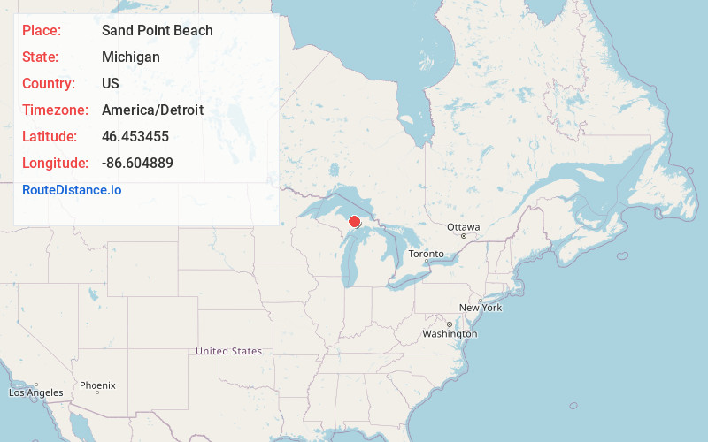
Full AddressSand Point Beach, Michigan 49862
-
Coordinates46.4534553, -86.6048885
-
LocationMichigan , US
-
TimezoneAmerica/Detroit
-
Current Local Time1:32:10 AM America/DetroitFriday, June 20, 2025
-
Page Views0
About Sand Point Beach
Picturesque beach area with sunset views, find sand & shallow water, plus picnic tables & toilets.


Nearby Places
Found 10 places within 50 miles

Williams Landing
3.2 mi
5.1 km
Williams Landing, MI 49862
Get directions

Munising
3.6 mi
5.8 km
Munising, MI 49862
Get directions

Munising Township
4.2 mi
6.8 km
Munising Township, MI
Get directions

Christmas
4.7 mi
7.6 km
Christmas, MI 49862
Get directions

Juniper
6.6 mi
10.6 km
Juniper, MI 49862
Get directions
Van Meer
6.8 mi
10.9 km
Van Meer, MI 49884
Get directions

Evelyn
6.9 mi
11.1 km
Evelyn, MI 49884
Get directions
Doty
7.1 mi
11.4 km
Doty, MI 49884
Get directions
Williams Crossing
7.9 mi
12.7 km
Williams Crossing, MI 49884
Get directions
Myren
8.7 mi
14.0 km
Myren, MI 49884
Get directions
Location Links
Local Weather
Weather Information
Coming soon!
Location Map
Static map view of Sand Point Beach, Michigan
Browse Places by Distance
Places within specific distances from Sand Point Beach
Short Distances
Long Distances
Click any distance to see all places within that range from Sand Point Beach. Distances shown in miles (1 mile ≈ 1.61 kilometers).