Distance to Sand Run, Ohio

Calculating Your Route
Just a moment while we process your request...
Location Information
-
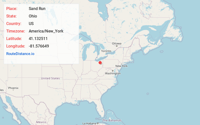
Full AddressSand Run, Ohio
-
Coordinates41.1325114, -81.5766487
-
LocationOhio , US
-
TimezoneAmerica/New_York
-
Current Local Time3:33:02 AM America/New_YorkSaturday, June 21, 2025
-
Page Views1
Nearby Places
Found 10 places within 50 miles

Fairlawn
1.8 mi
2.9 km
Fairlawn, OH
Get directions

Botzum
2.0 mi
3.2 km
Botzum, Cuyahoga Falls, OH 44313
Get directions

Summit County
2.9 mi
4.7 km
Summit County, OH
Get directions
Ira
3.4 mi
5.5 km
Ira, Cuyahoga Falls, OH 44313
Get directions

Montrose
3.6 mi
5.8 km
Montrose, OH
Get directions
Ghent
3.6 mi
5.8 km
Ghent, Montrose-Ghent, OH 44333
Get directions

Bath Township
4.0 mi
6.4 km
Bath Township, OH
Get directions
Montrose-Ghent
4.2 mi
6.8 km
Montrose-Ghent, OH
Get directions

Copley Township
4.4 mi
7.1 km
Copley Township, OH
Get directions

Akron
4.7 mi
7.6 km
Akron, OH
Get directions
Location Links
Local Weather
Weather Information
Coming soon!
Location Map
Static map view of Sand Run, Ohio
Browse Places by Distance
Places within specific distances from Sand Run
Short Distances
Long Distances
Click any distance to see all places within that range from Sand Run. Distances shown in miles (1 mile ≈ 1.61 kilometers).