Distance to Sanders, Arizona

Calculating Your Route
Just a moment while we process your request...
Location Information
-
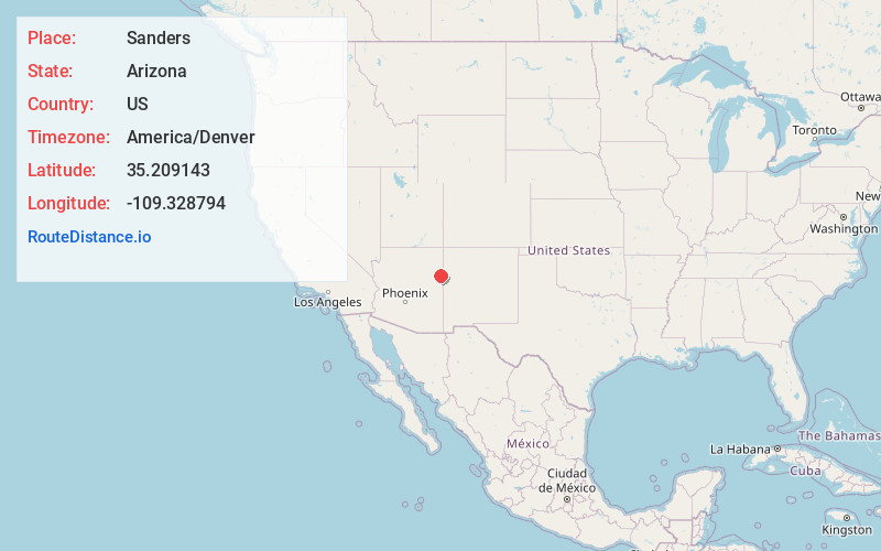
Full AddressSanders, AZ 86512
-
Coordinates35.2091429, -109.328794
-
LocationSanders , Arizona , US
-
TimezoneAmerica/Denver
-
Current Local Time10:40:00 AM America/DenverThursday, June 19, 2025
-
Page Views0
About Sanders
Sanders is a census-designated place in Apache County, Arizona, United States. Sanders is located at the junction of U.S. Route 191 and Interstate 40. As of the 2020 census, it had a population of 575.


Nearby Places
Found 10 places within 50 miles

Houck
8.6 mi
13.8 km
Houck, AZ
Get directions

Zuni
28.8 mi
46.3 km
Zuni, NM
Get directions

St Michaels
32.8 mi
52.8 km
St Michaels, AZ 86511
Get directions

Window Rock
36.1 mi
58.1 km
Window Rock, AZ
Get directions

Ganado
36.7 mi
59.1 km
Ganado, AZ 86505
Get directions
Rock Springs
39.5 mi
63.6 km
Rock Springs, NM
Get directions

Fort Defiance
39.6 mi
63.7 km
Fort Defiance, AZ 86504
Get directions

Gamerco
40.5 mi
65.2 km
Gamerco, NM 87301
Get directions
Twin Lakes
46.5 mi
74.8 km
Twin Lakes, NM
Get directions

Church Rock
46.8 mi
75.3 km
Church Rock, NM
Get directions
Location Links
Local Weather
Weather Information
Coming soon!
Location Map
Static map view of Sanders, Arizona
Browse Places by Distance
Places within specific distances from Sanders
Short Distances
Long Distances
Click any distance to see all places within that range from Sanders. Distances shown in miles (1 mile ≈ 1.61 kilometers).