Distance to Sands, Illinois

Calculating Your Route
Just a moment while we process your request...
Location Information
-
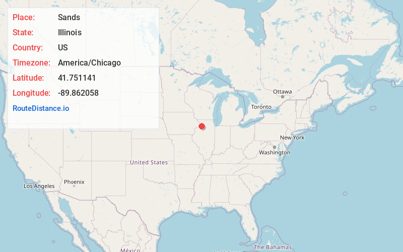
Full AddressSands, Lyndon Township, IL 61261
-
Coordinates41.7511412, -89.8620577
-
LocationLyndon Township , Illinois , US
-
TimezoneAmerica/Chicago
-
Current Local Time3:46:22 PM America/ChicagoFriday, June 6, 2025
-
Page Views0
Nearby Places
Found 10 places within 50 miles

Round Grove
2.4 mi
3.9 km
Round Grove, IL 61270
Get directions

Agnew
4.0 mi
6.4 km
Agnew, IL 61081
Get directions

Lyndon
4.0 mi
6.4 km
Lyndon, IL 61261
Get directions
Como
5.1 mi
8.2 km
Como, IL 61081
Get directions
Galt
5.8 mi
9.3 km
Galt, IL
Get directions

Morrison
6.7 mi
10.8 km
Morrison, IL 61270
Get directions

Prophetstown
6.7 mi
10.8 km
Prophetstown, IL 61277
Get directions
Malvern
7.3 mi
11.7 km
Malvern, IL 61270
Get directions

Sterling
8.9 mi
14.3 km
Sterling, IL 61081
Get directions

Rock Falls
9.1 mi
14.6 km
Rock Falls, IL 61071
Get directions
Location Links
Local Weather
Weather Information
Coming soon!
Location Map
Static map view of Sands, Illinois
Browse Places by Distance
Places within specific distances from Sands
Short Distances
Long Distances
Click any distance to see all places within that range from Sands. Distances shown in miles (1 mile ≈ 1.61 kilometers).